|
 Old
USGS Maps Old
USGS Maps
Long
Island Sound, NY & CT
Home Page - Long Island Maps
Large Composites
Town Composites
We have added these maps (and many more!) to our new store at
shop.old-maps.com
Click here to browse the full collection
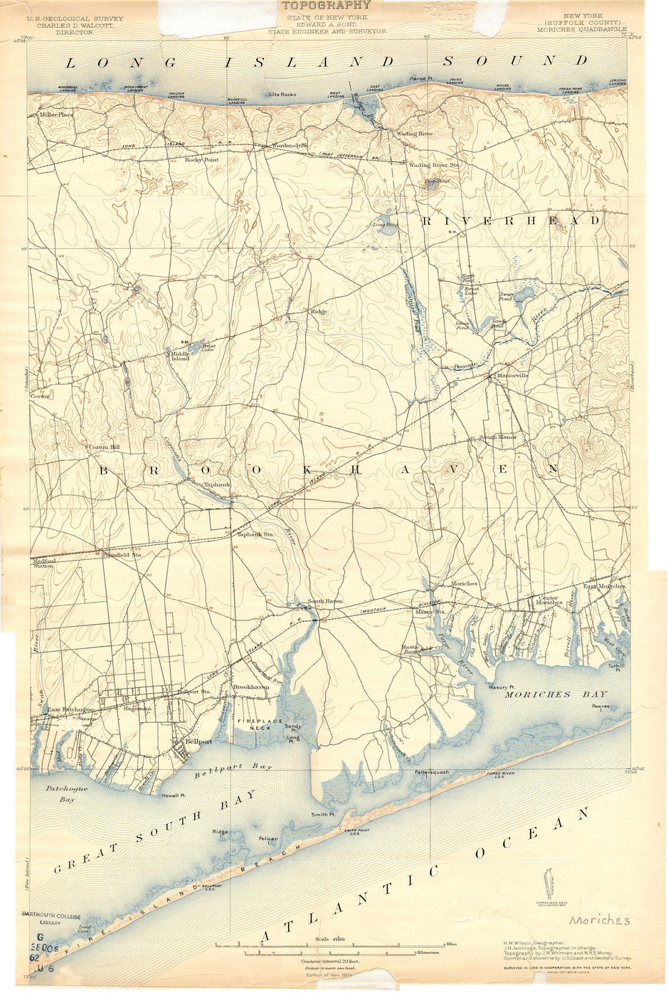
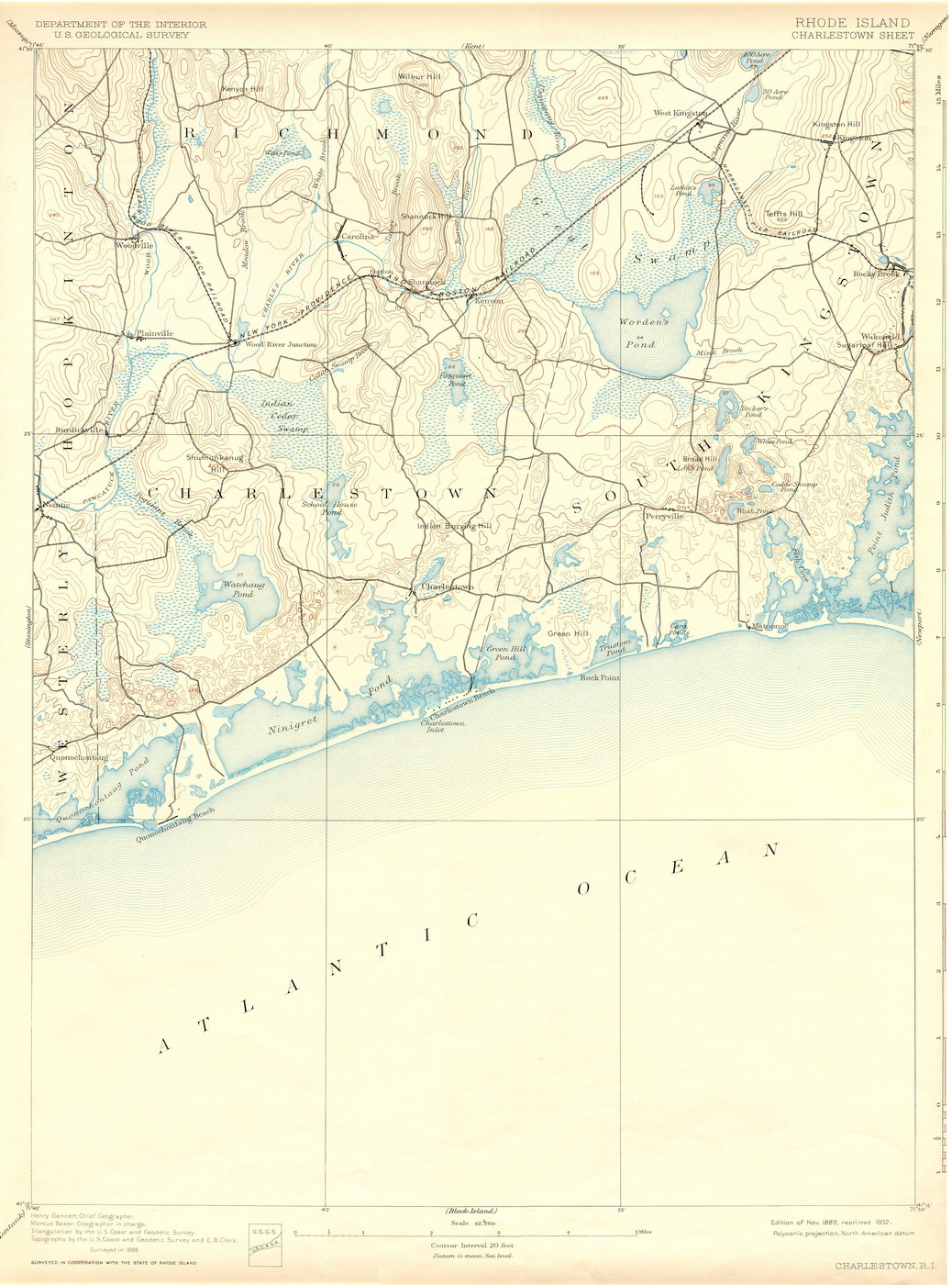
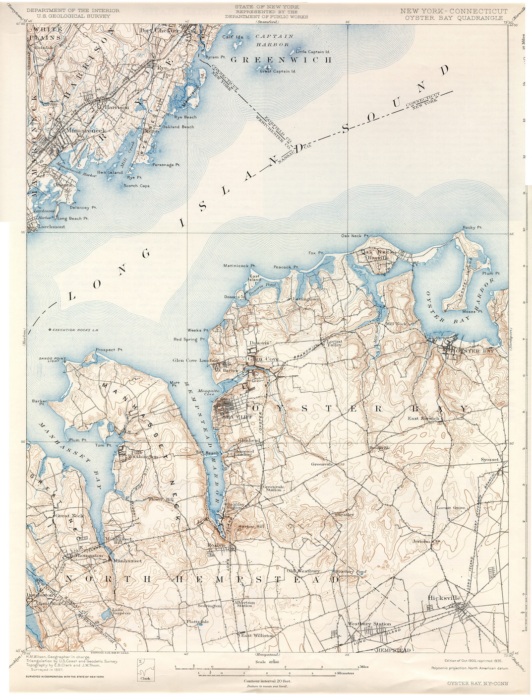
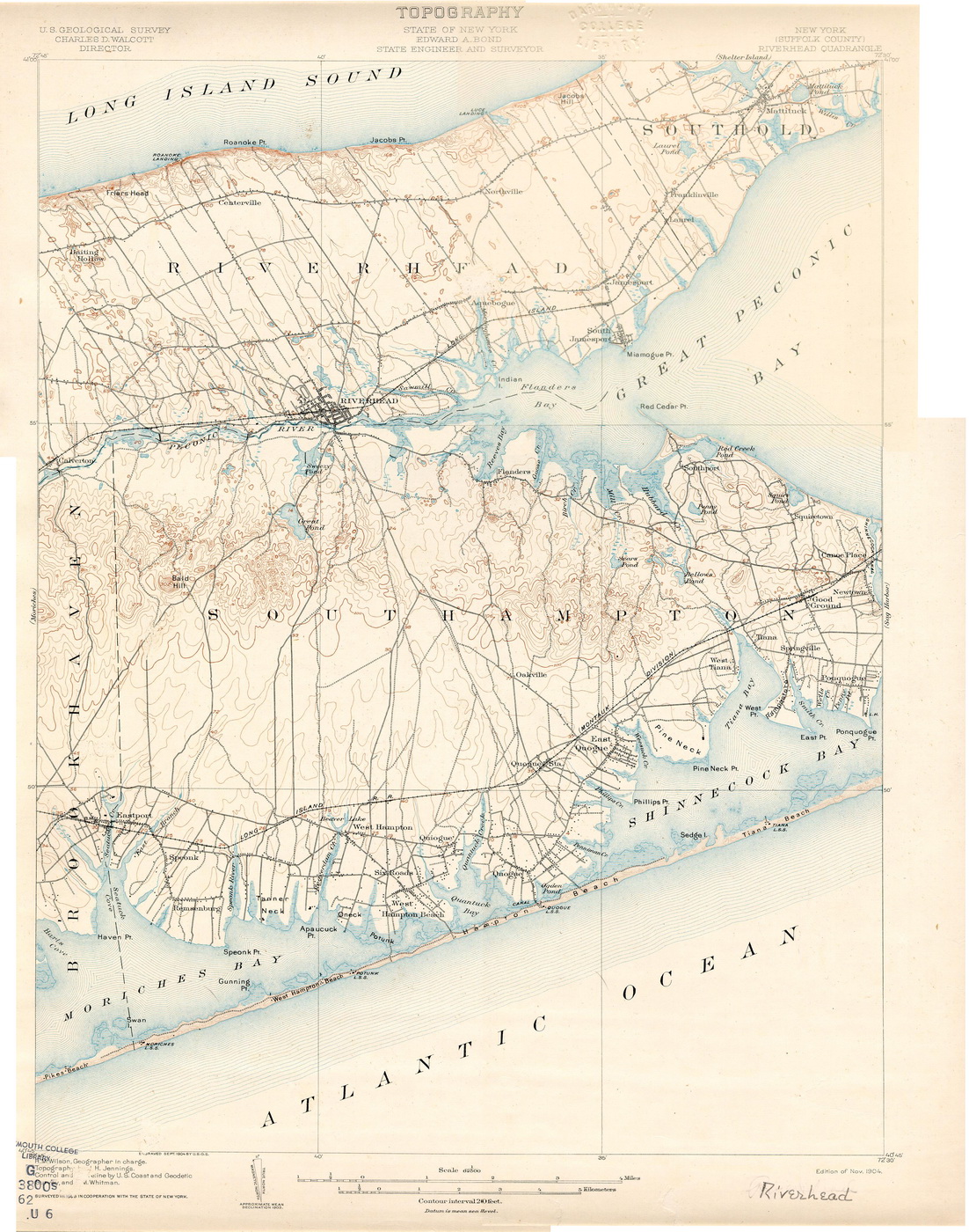
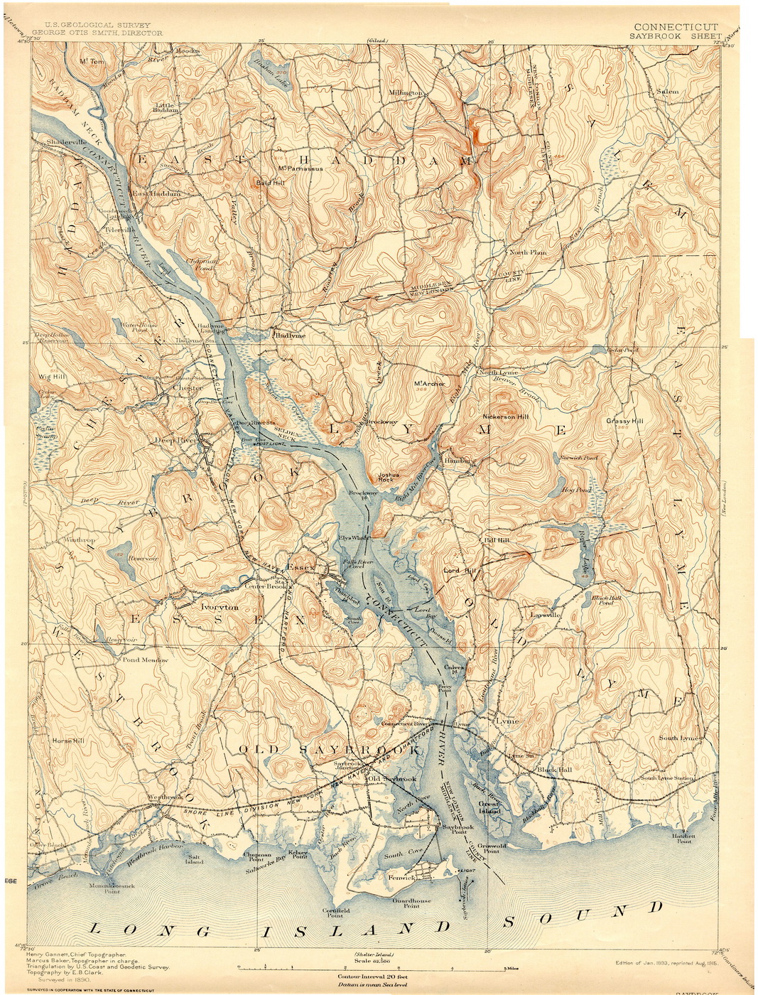
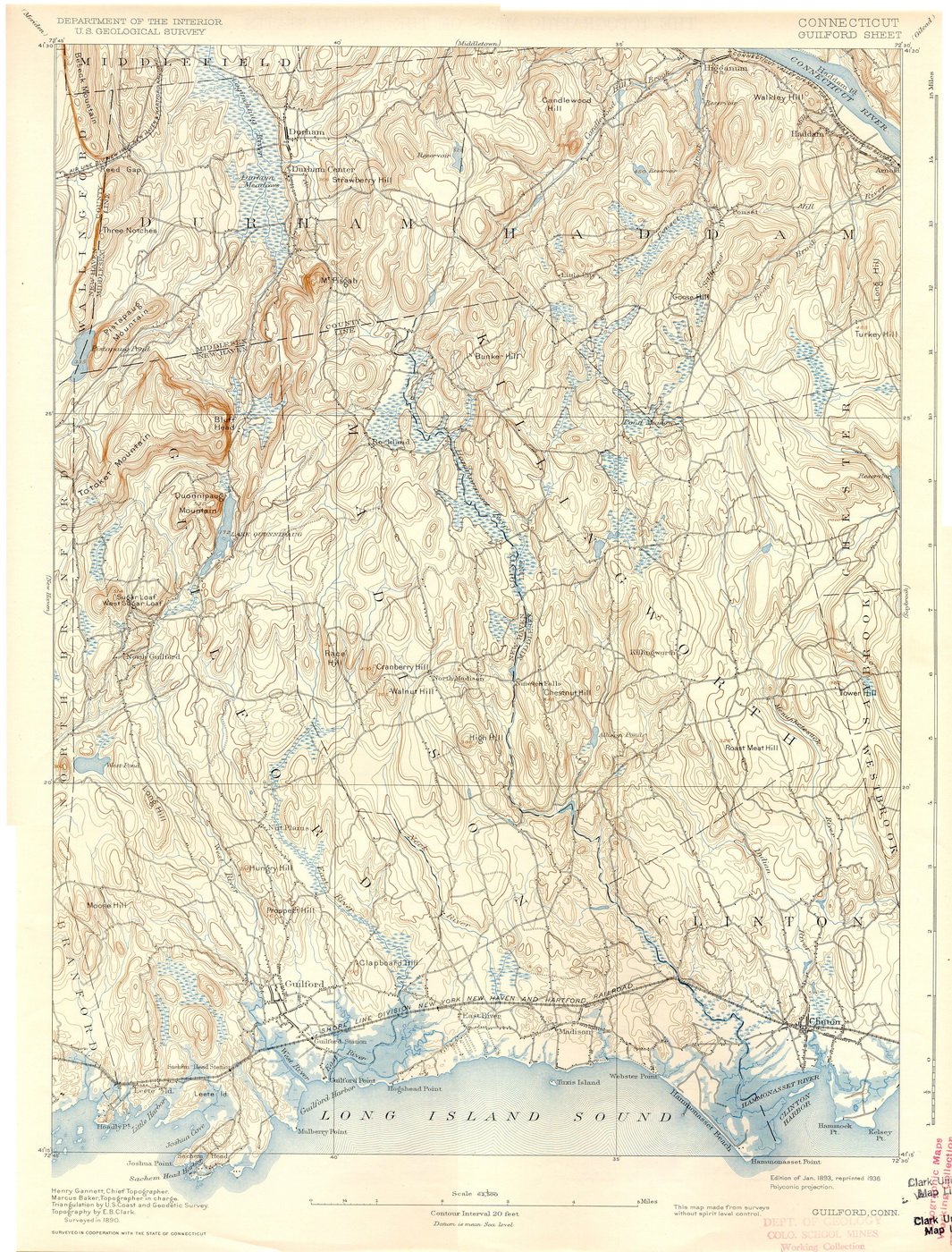
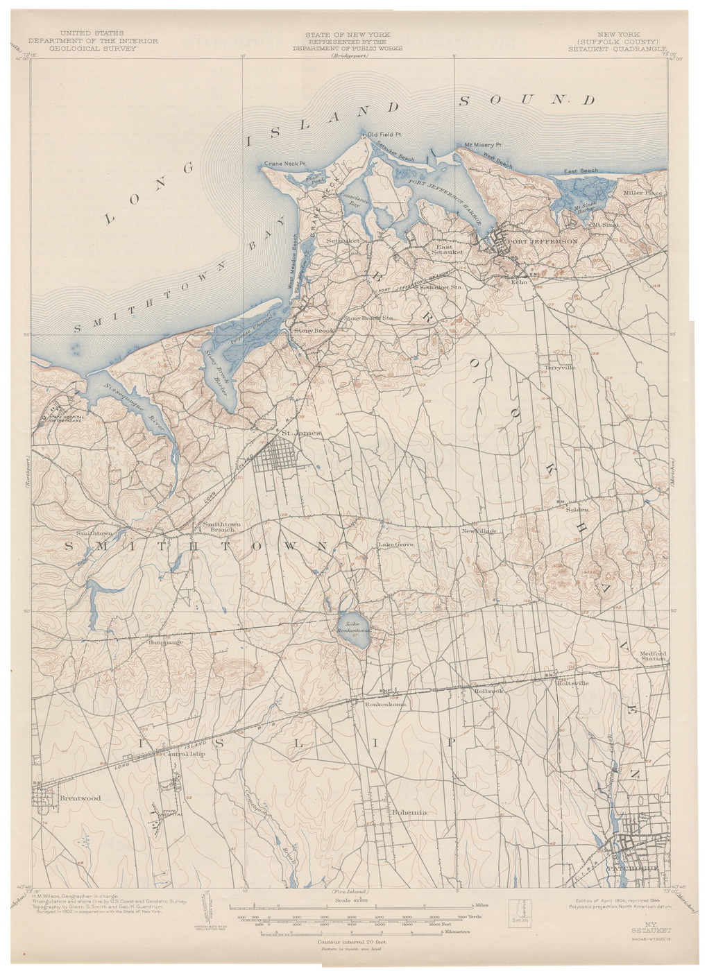
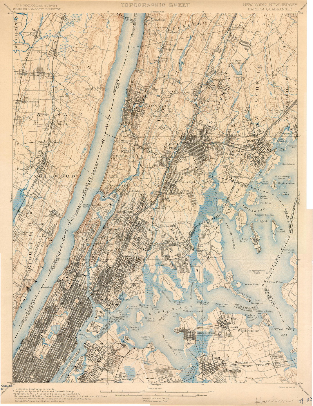
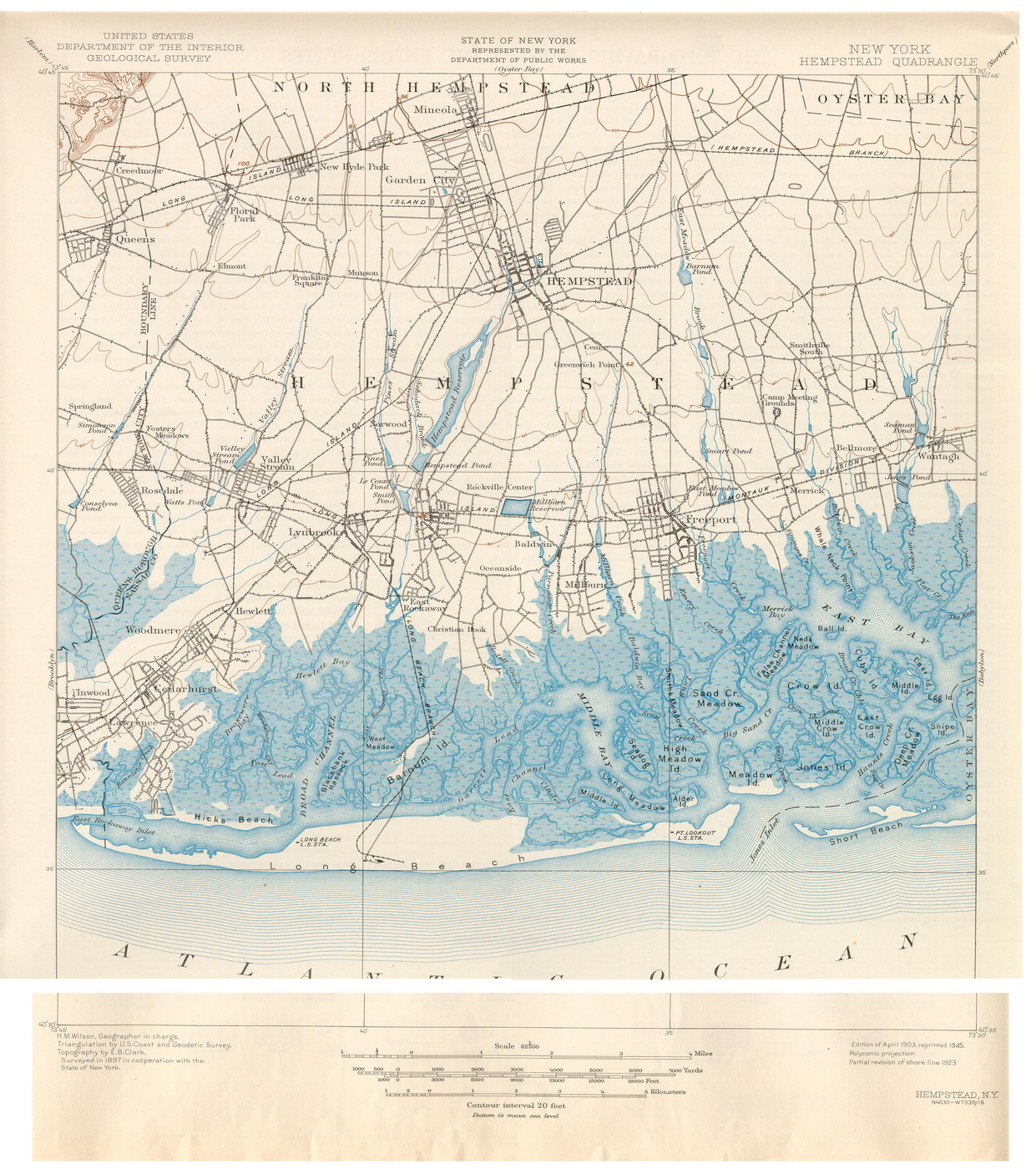
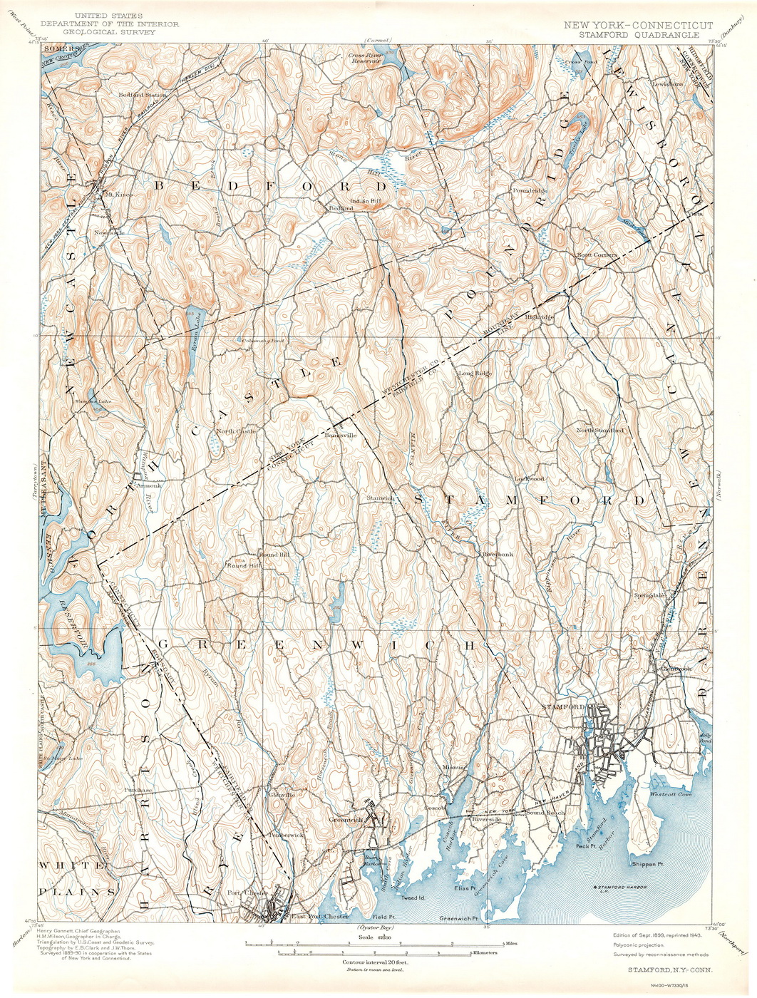
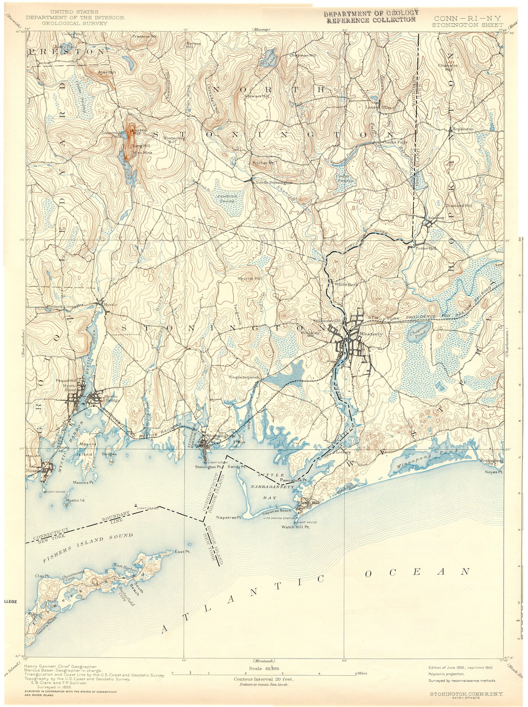
The original ca. 1900 USGS "topo" maps are available for
free download / review (in low resolution), or for purchase as
color prints. The "CT" denotes a
map of the Connecticut shoreline.
Click on a filename below to see a preview.
|

