Historical Nautical
Charts
Pacific Coastline of the United States
1:200,000
Scale Charts - ca.1890
Old Maps Home
Pacific Coast Home
Big Area
Charts |
| |
This collection of charts covers the
Pacific coastline from the Mexican border to the Canadian Border.
The scale remains constant throughout the series, and the charts
date mostly from the 1880s and 1890s.
See also the Big Area post
1917 collection
Click here to view and purchase these charts on our new and improved
website! |
| |
 |

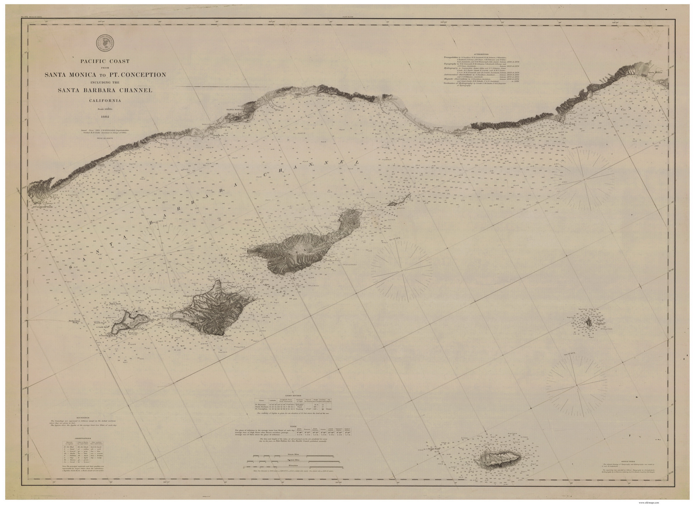
Santa Monica to Point Conception - 1882 |

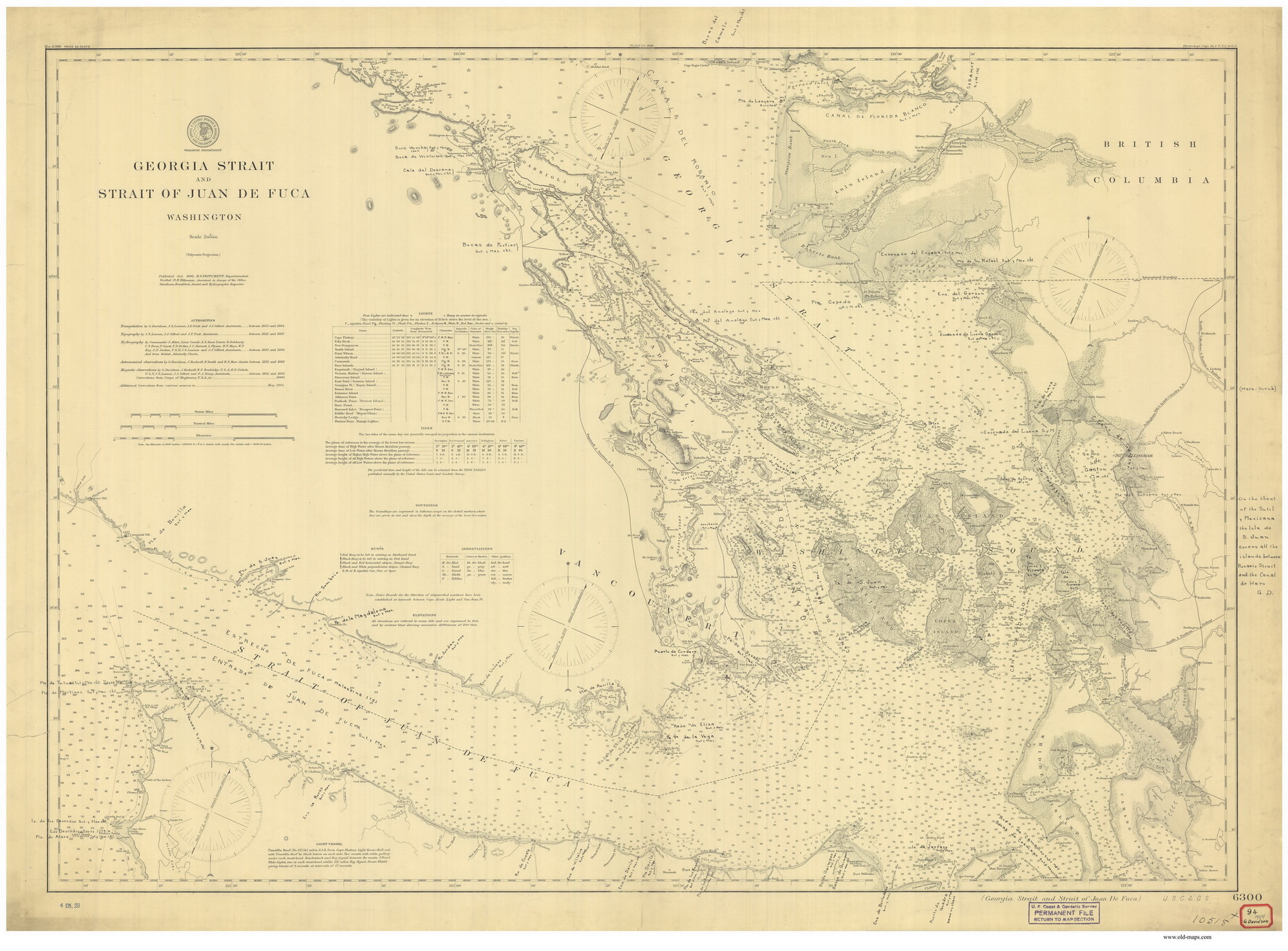
Strait of Georgia to the Strait of Juan
De Fuca - 1898 |
|
Index Map - click to enlarge |
Example maps from this series
-click on either image above to
view a larger copy- |
|
|
|
These Nautical charts are extremely detailed, showing not only ports
and harbors but lighthouses, bouys and depth soundings as well as
islands, shoals, and other dangers to mariners. The image to
the right is a high-res clip from the 1898 chart displayed above it,
click to enlarge. |
 |
|
|