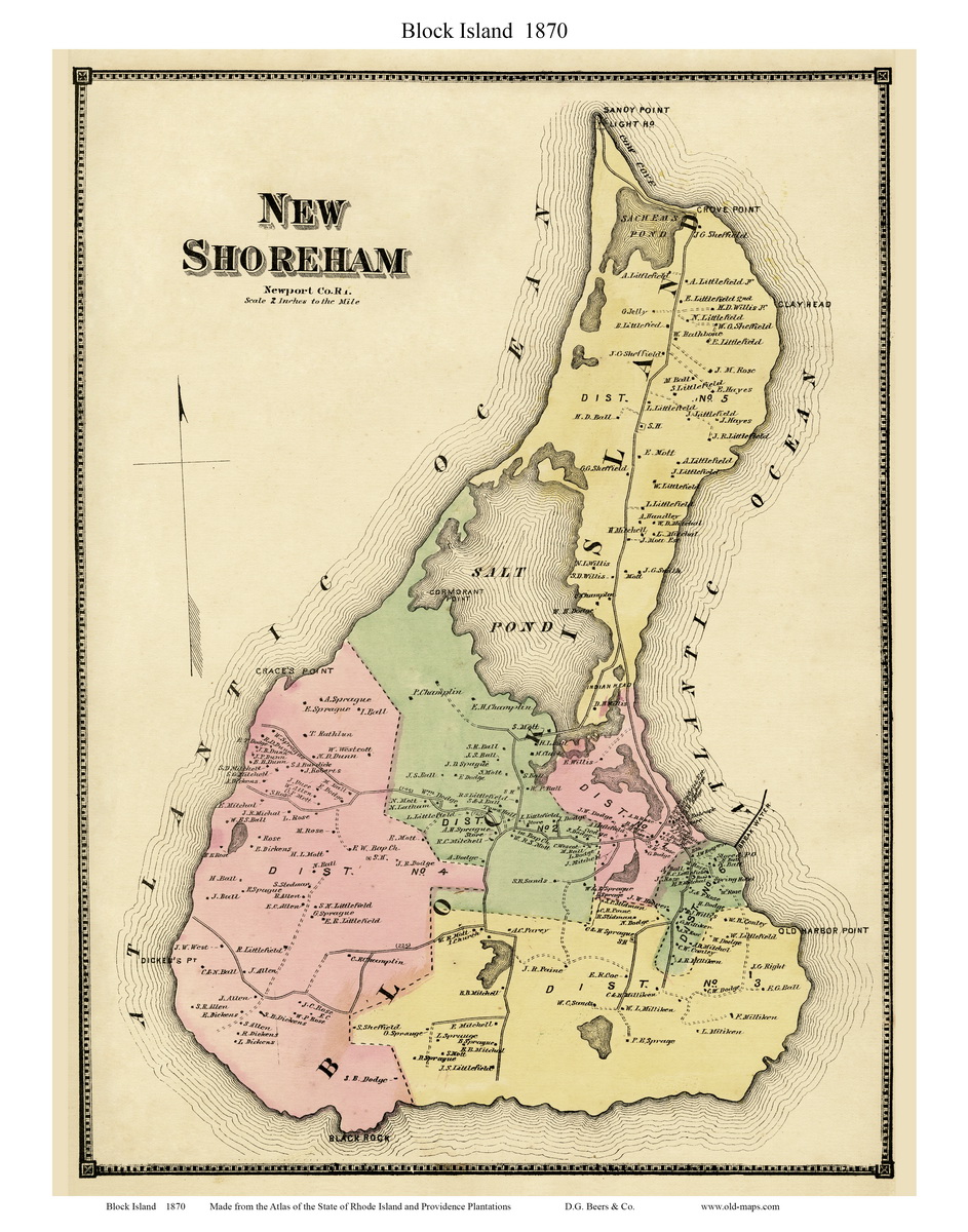
Block Island - 1870
This is a custom map, made from
the 1870 Beers Atlas map of New Shoreham |
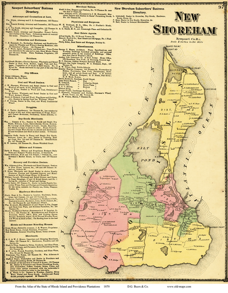
New Shoreham (Block Island) - 1870
Block Island and
Business Listings from the
1870 Beers Atlas |
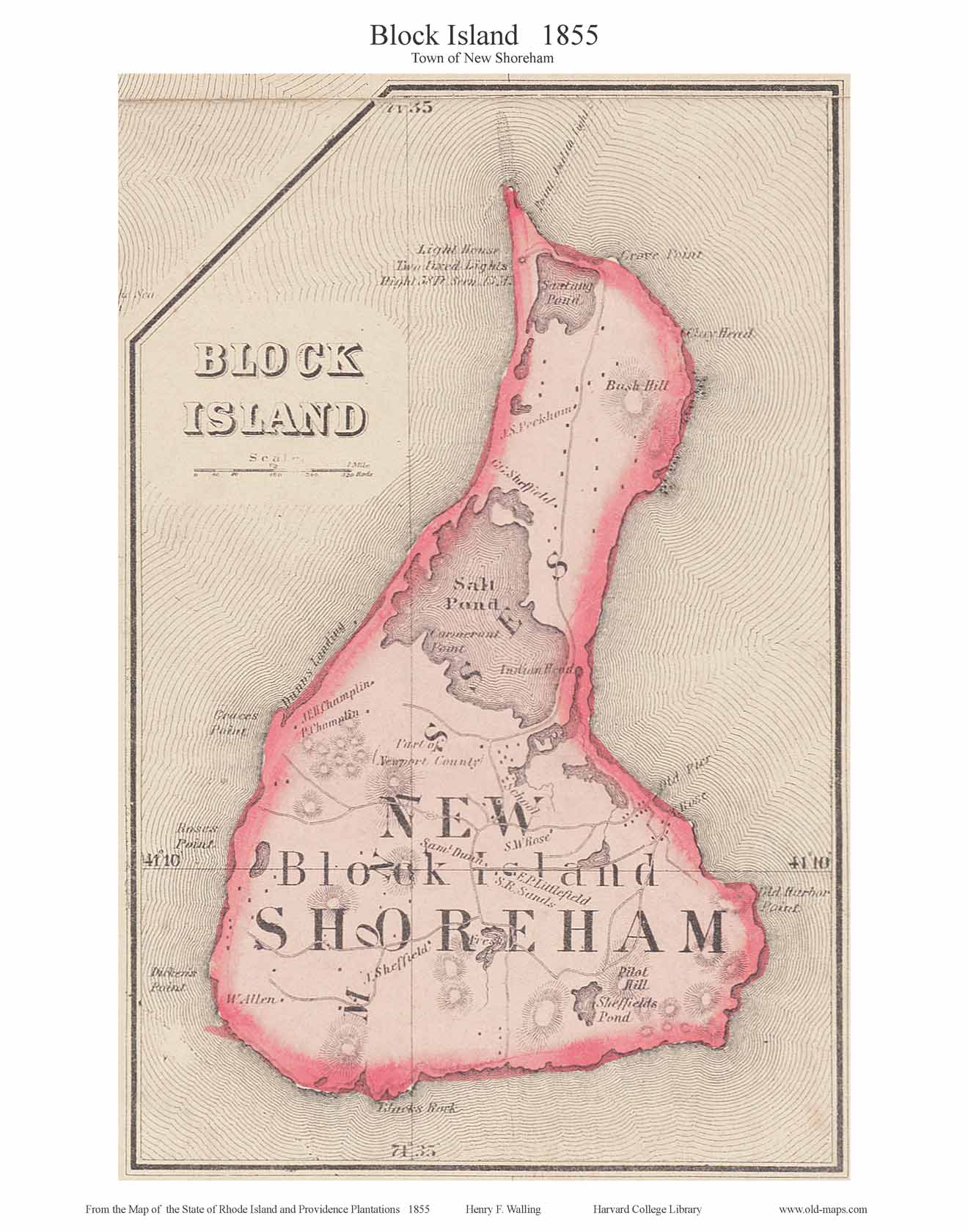
Block Island - 1855
This map shows a few homeowner
names,
it is excerpted from the
1885
State Map |
Block Island - 1850
This map shows homeowner names
and several places of interest, and was excerpted from the large wall
map of Newport County, 1850 |
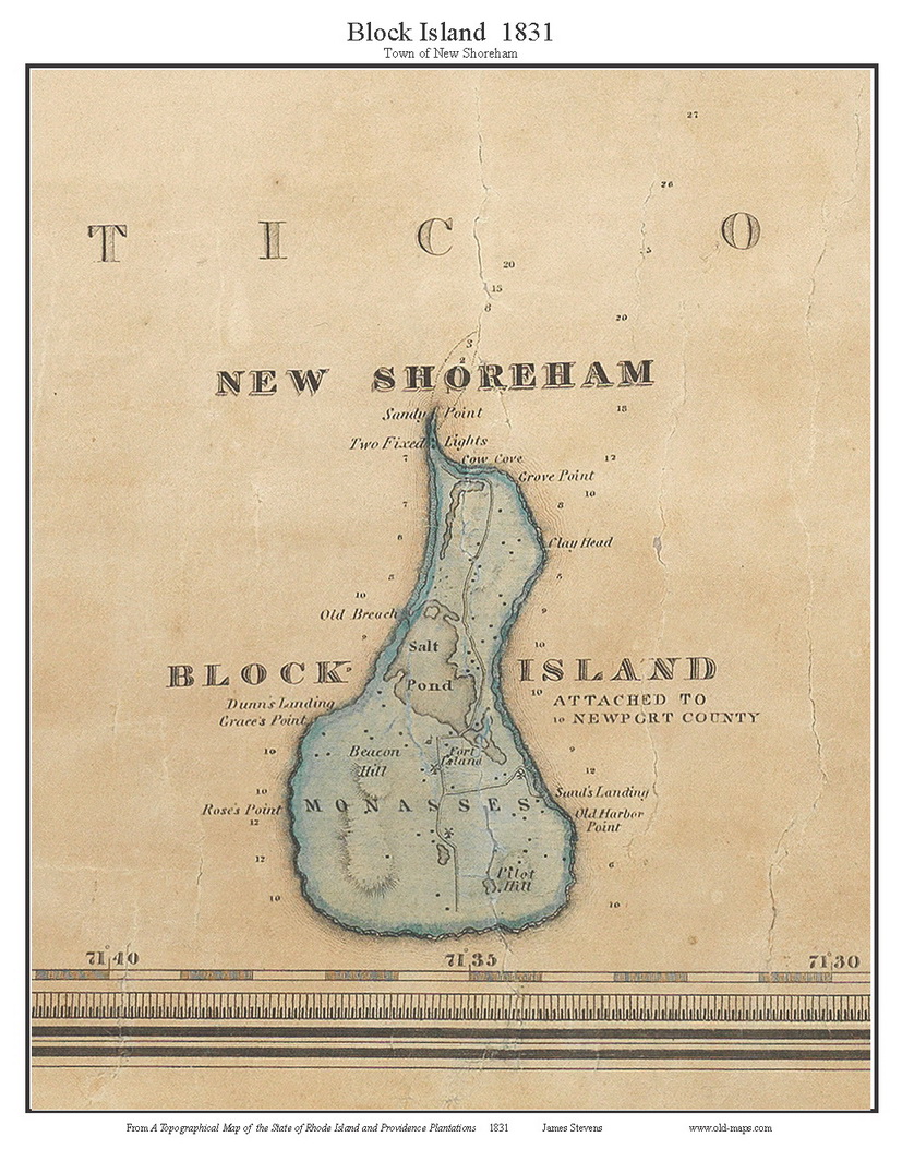
Block Island - 1831
This map shows a few place names
but no homeowner names, and is somewhat fuzzy due to being very small on
the original 1831 State Map from which it
was excerpted |