Old
Maps of California
State Maps of California |
|
Home
Maps of San Francisco |
These and many more California Maps are
now available through our store at shop.old-maps.com
Click here to browse the collection!
|
Click on an image
below for an enlarged view - click the link above
to browse a
larger collection of CA state maps! |

original size - 21" x 25" |

original size - 21" x 29" |

original size - 11" x 14" |
1851
Jackson - "Map of the
Mining District in California" |
1851 Gibbes - "Map of the
Gold Region in California" |
1855
Colton - inclues closeup of
San Francisco |
| |

original size - 11" x 14" |

original size - 20" x 26" |

original size - 19" x 27" |
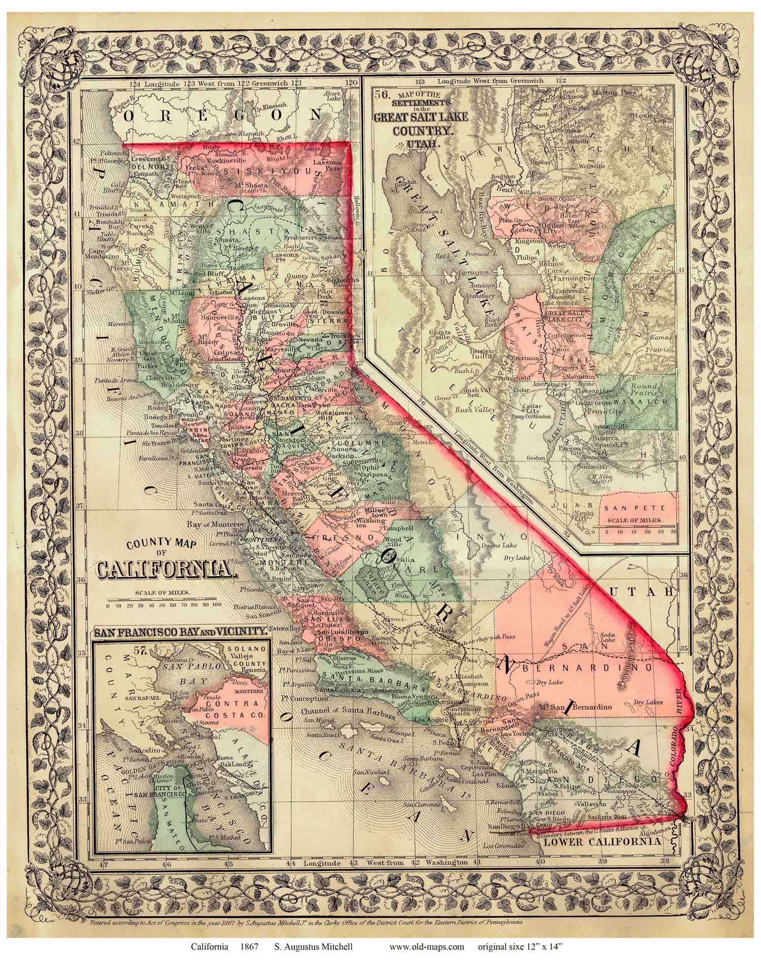
1867
Mitchell
"County Map of California" |
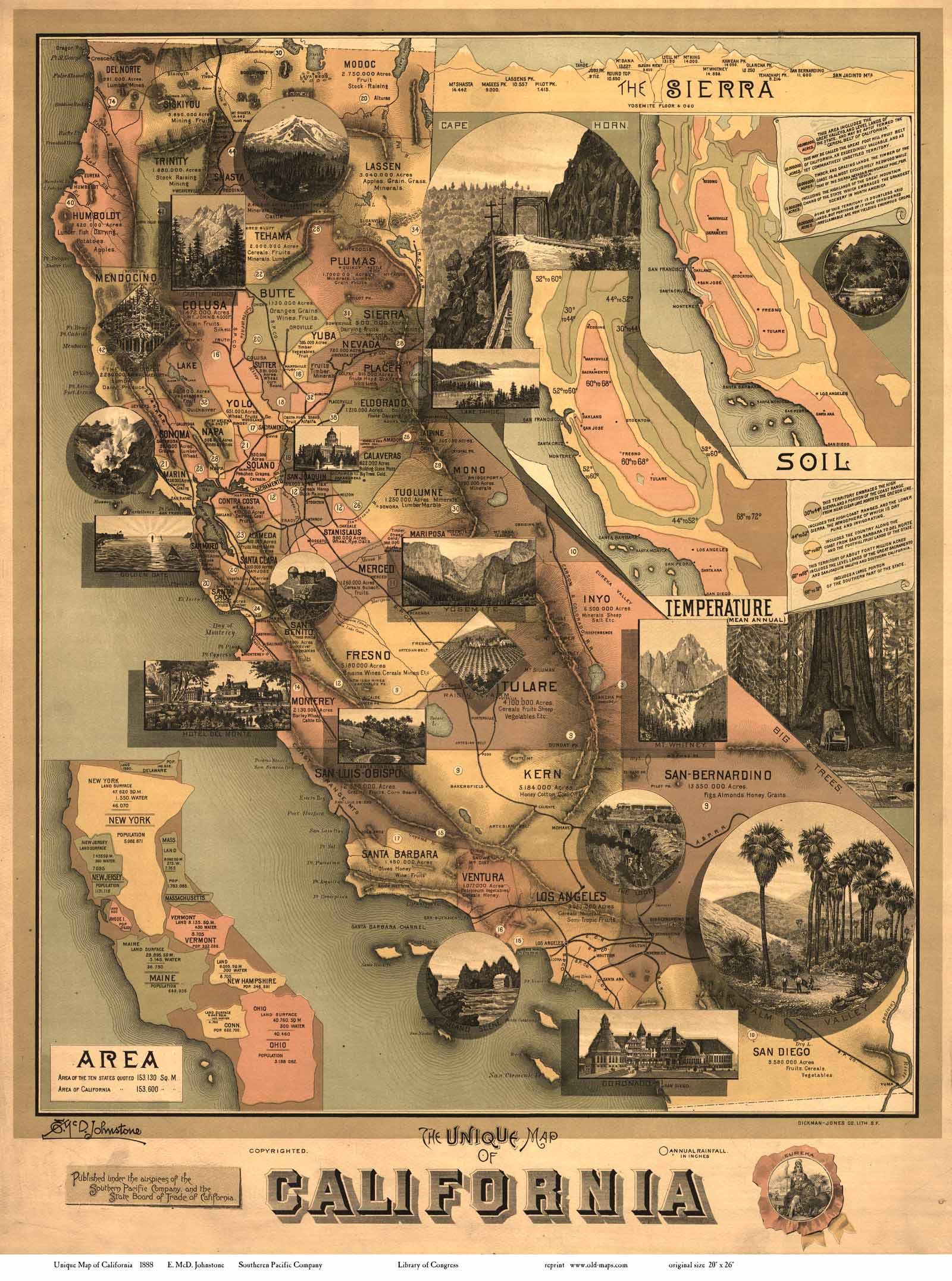
1888 Johnstone - "The Unique map of
California -
Southern Pacific Co." |
1720
De Fer - a French map,
"California as an Island" |
|