|


Masschusetts:
State Maps
Counties:
Barnstable, Dukes & Nantucket
Berkshire
Bristol
Essex
Franklin
Hampden
Hampshire
Middlesex
Norfolk
Suffolk
Plymouth
Worcester
|
|
|
|
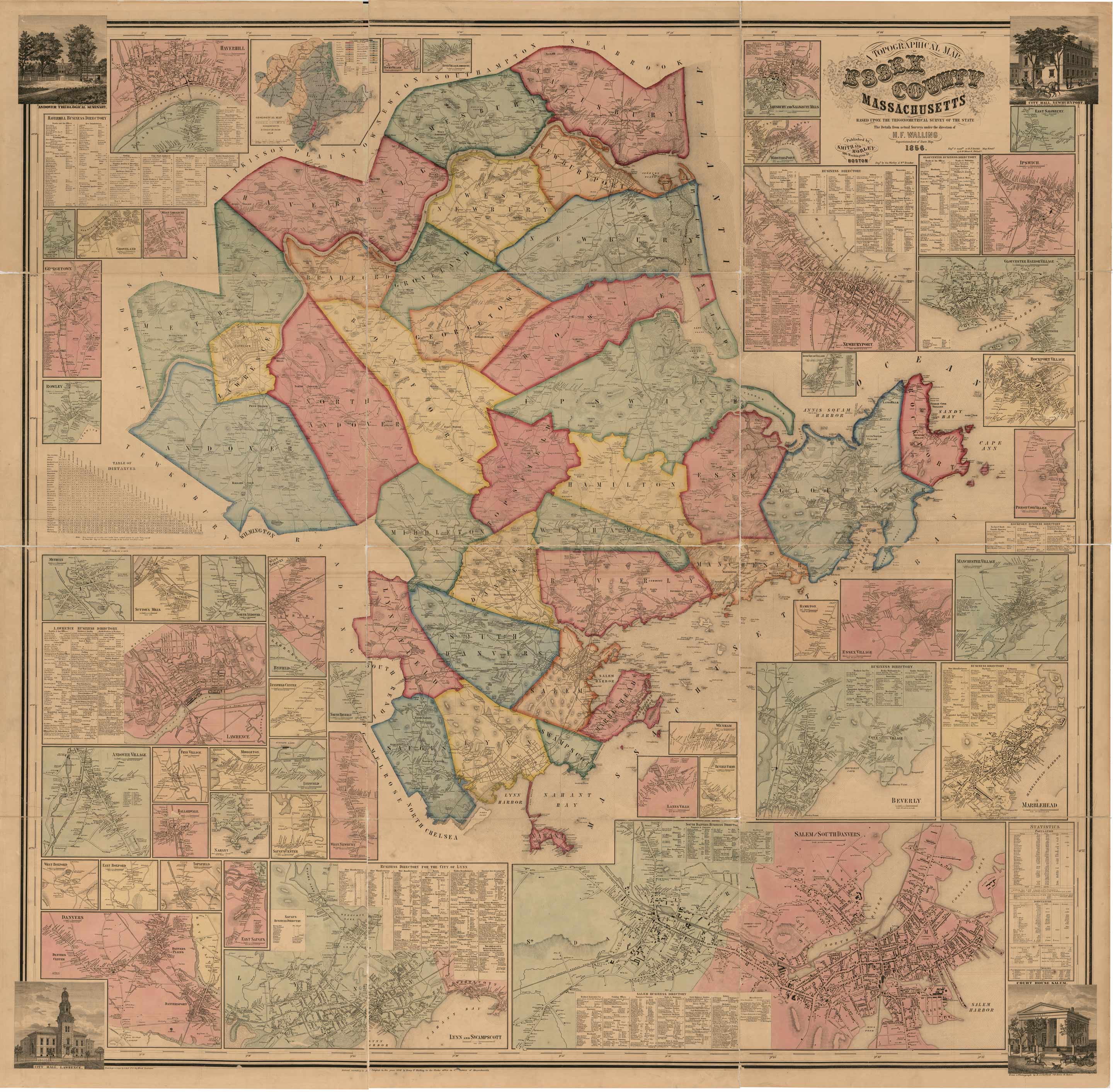
Essex County, Massachusetts 1856
Wall Map Reprint
EssexCo Essex 1856 CDROM
Town Prints |
|
The Map of Essex County, Massachusetts 1856, is available
as a paper reprint. This wall map shows all the old roads and identifies each house and business name.
This print has some flaws, please review the sample image before ordering. |
|
Click here
to purchase this map through our store at shop.old-maps.com |
|

Click Here
to see a low resolution copy of this map. (1 meg JPEG)
|
Original size: 62" x 63". We offer reprints at
several sizes. Some text will be
hard to read or illegible at the
smaller sizes, but the map still makes an attractive wall display. |
|
|
|
|
|