|


Masschusetts:
State Maps
Counties:
Barnstable, Dukes & Nantucket
Berkshire
Bristol
Essex
Franklin
Hampden
Hampshire
Middlesex
Norfolk
Suffolk
Plymouth
Worcester
|
|
|
|
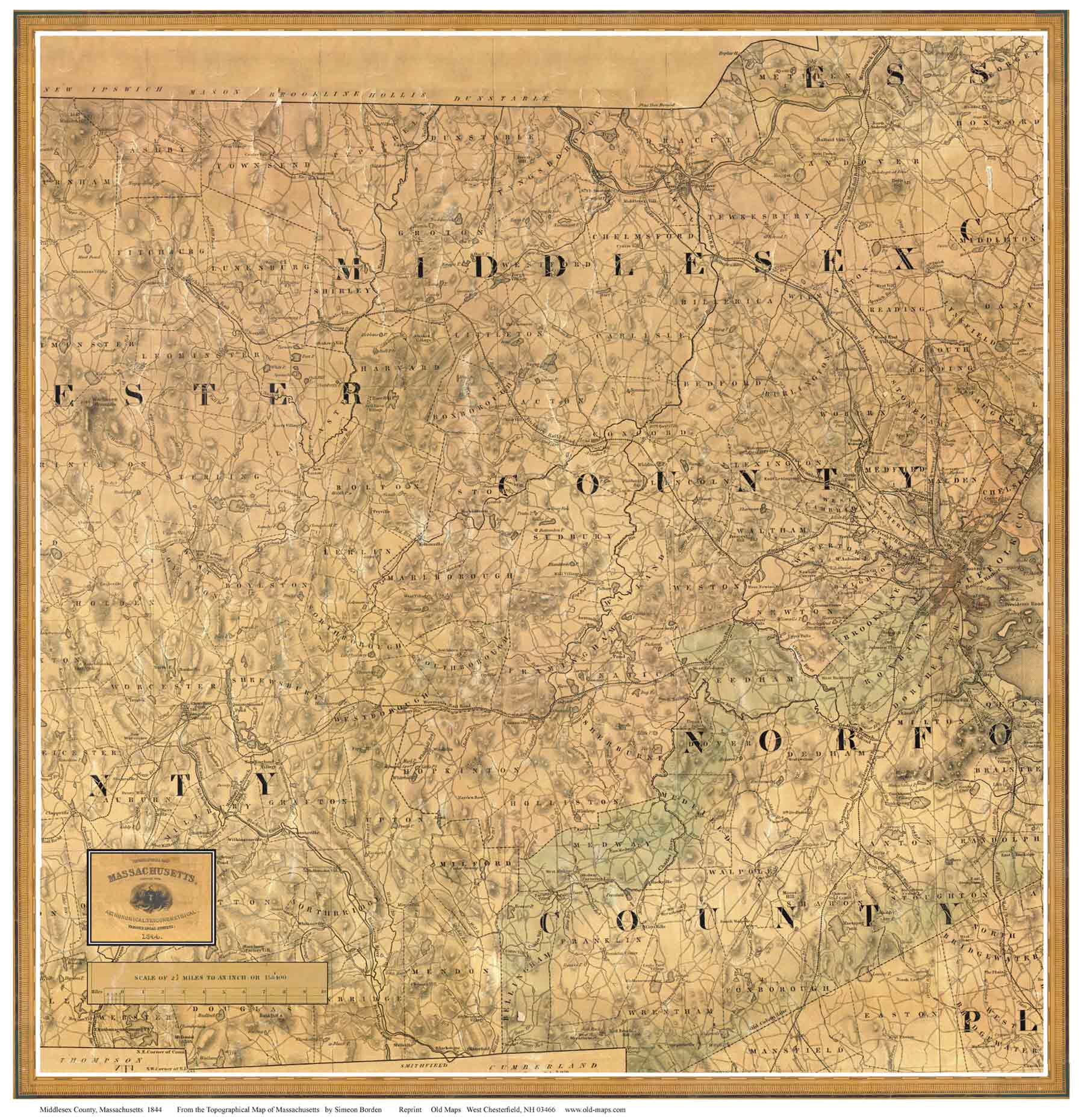
1844 Map of Middlesex
County
A Paper Print |
|
A
hard-to-find early map.
Click here to purchase this map through our store at shop.old-maps.com |
 |
A very early road map of Middlesex County, with place names. roads, rivers and
principal buildings shown in every town.
This map is an excerpt from
the 1844 Map of Massachusetts by Simeon Borden, a large wall map and has not heretofore been readily
available. |
To see a more detailed copy of the map,
click here or
on the map above. The image you will see is low-resolution for web
viewing, but you can see the extent of the road network in your town.
The excerpt below illustrates the detail and quality of our paper
prints. |
 |
|
We offer this map as a reprint on heavy weight bond paper in two sizes |
|
|
|