Old-Maps

Vermont
Massachusetts
New Hampshire
Maine
Connecticut
New York
Rhode Island
New England
About Us
News Coverage
Contact Us
Order Form
FAQ

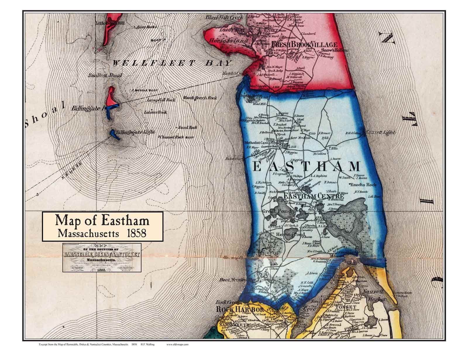
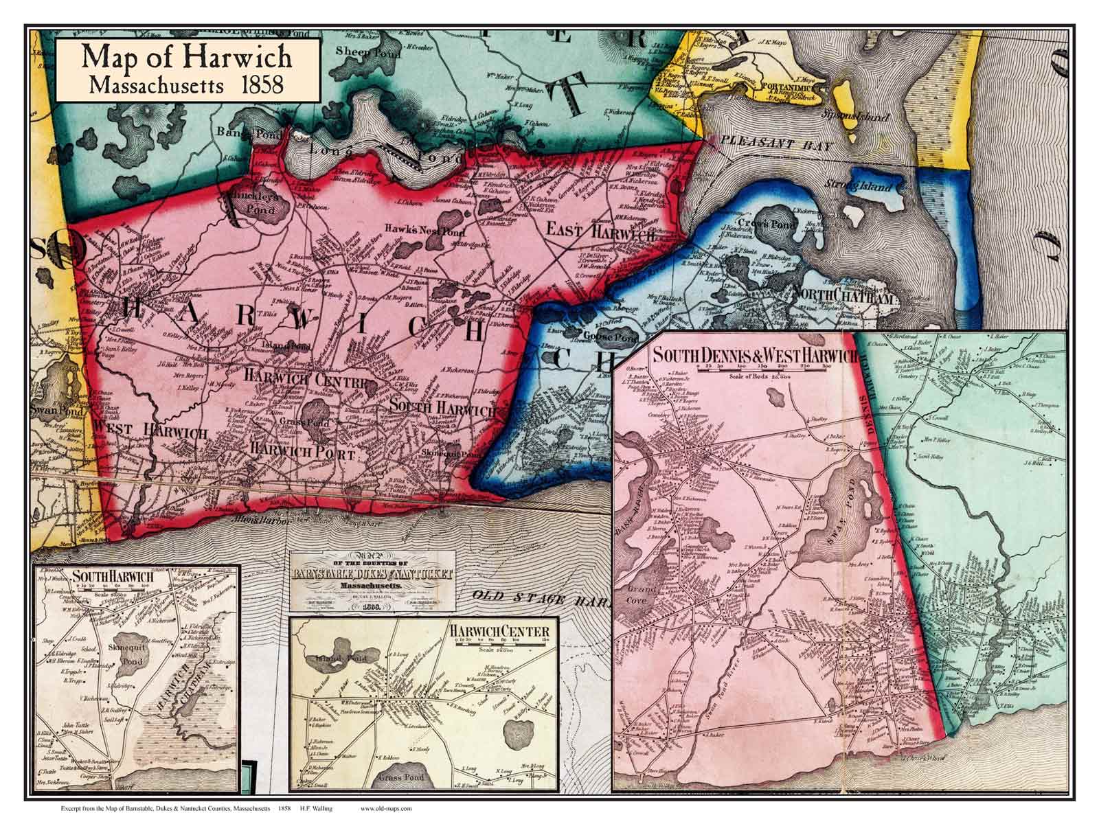
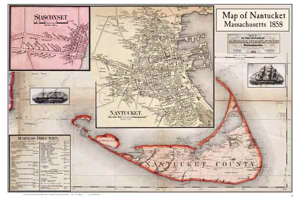
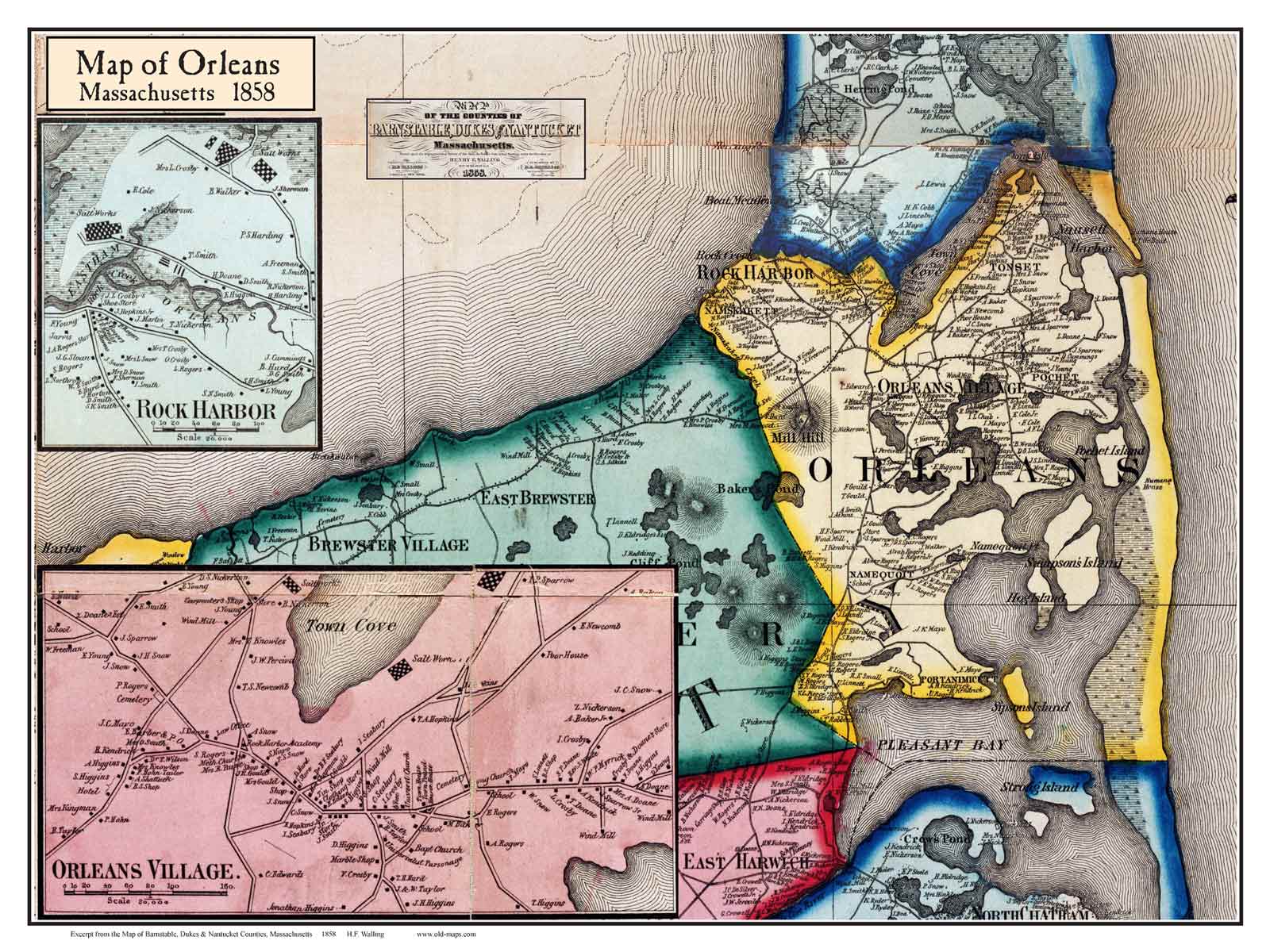
Masschusetts:
State Maps
Counties:
Barnstable, Dukes & Nantucket
Berkshire
Bristol
Essex
Franklin

Hampden
Hampshire
Middlesex
Norfolk
Suffolk
Plymouth
Worcester


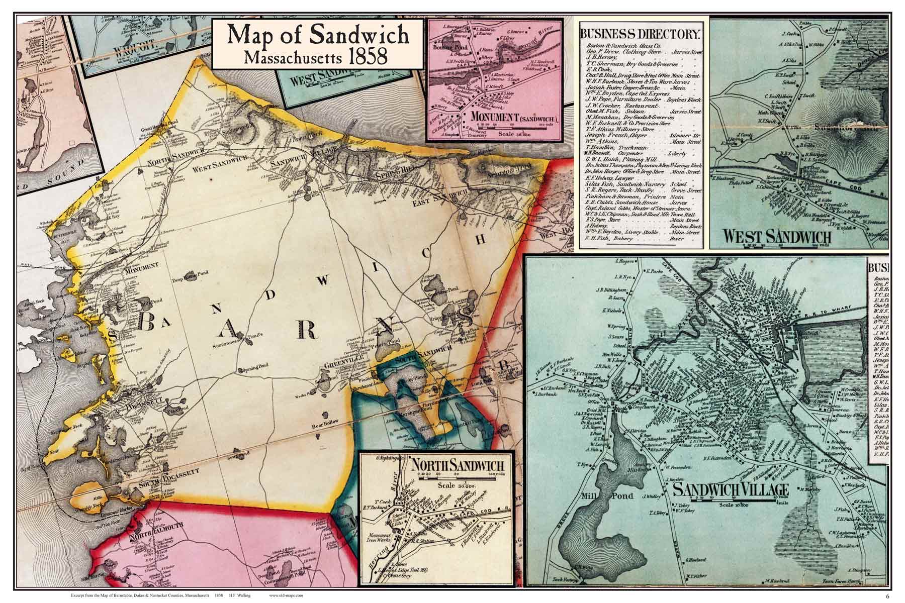
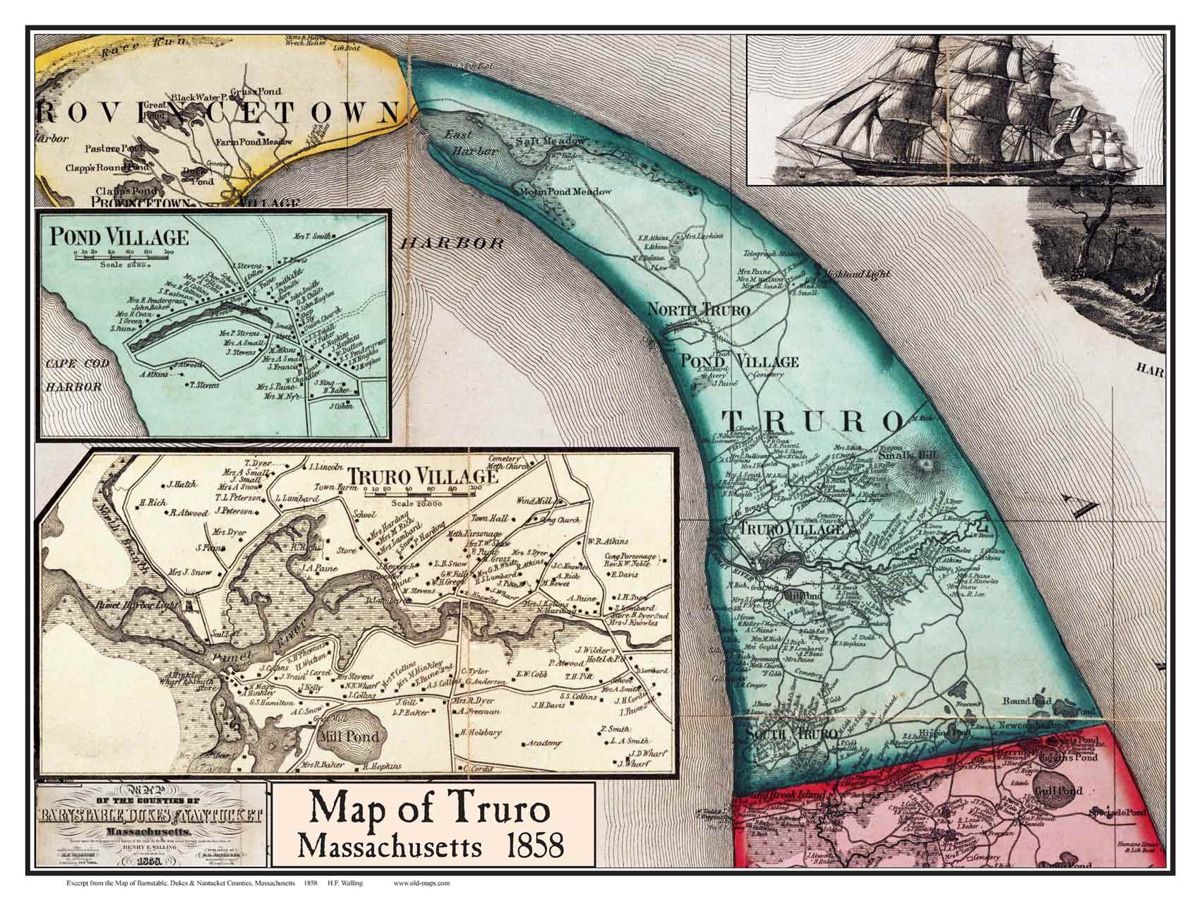
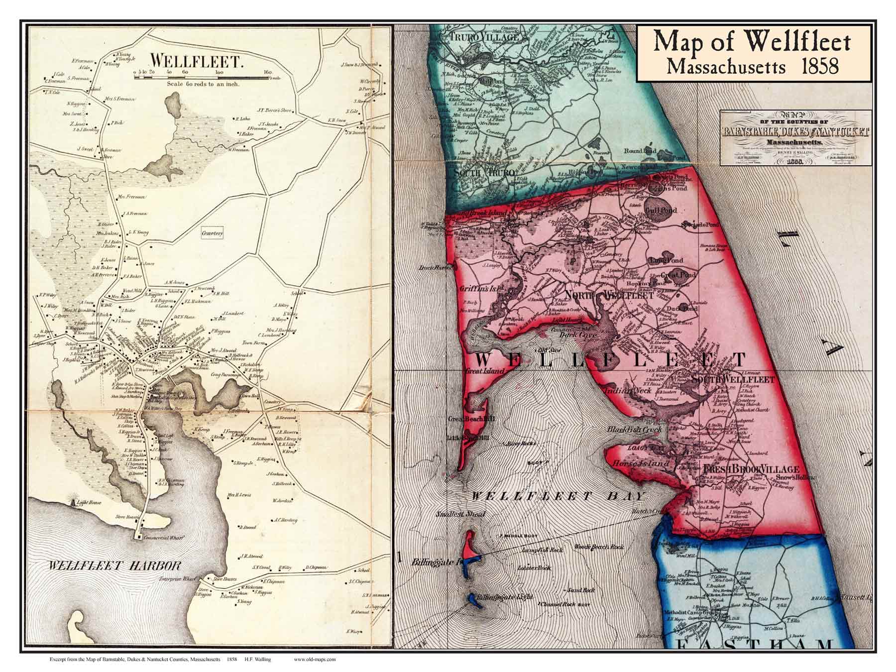
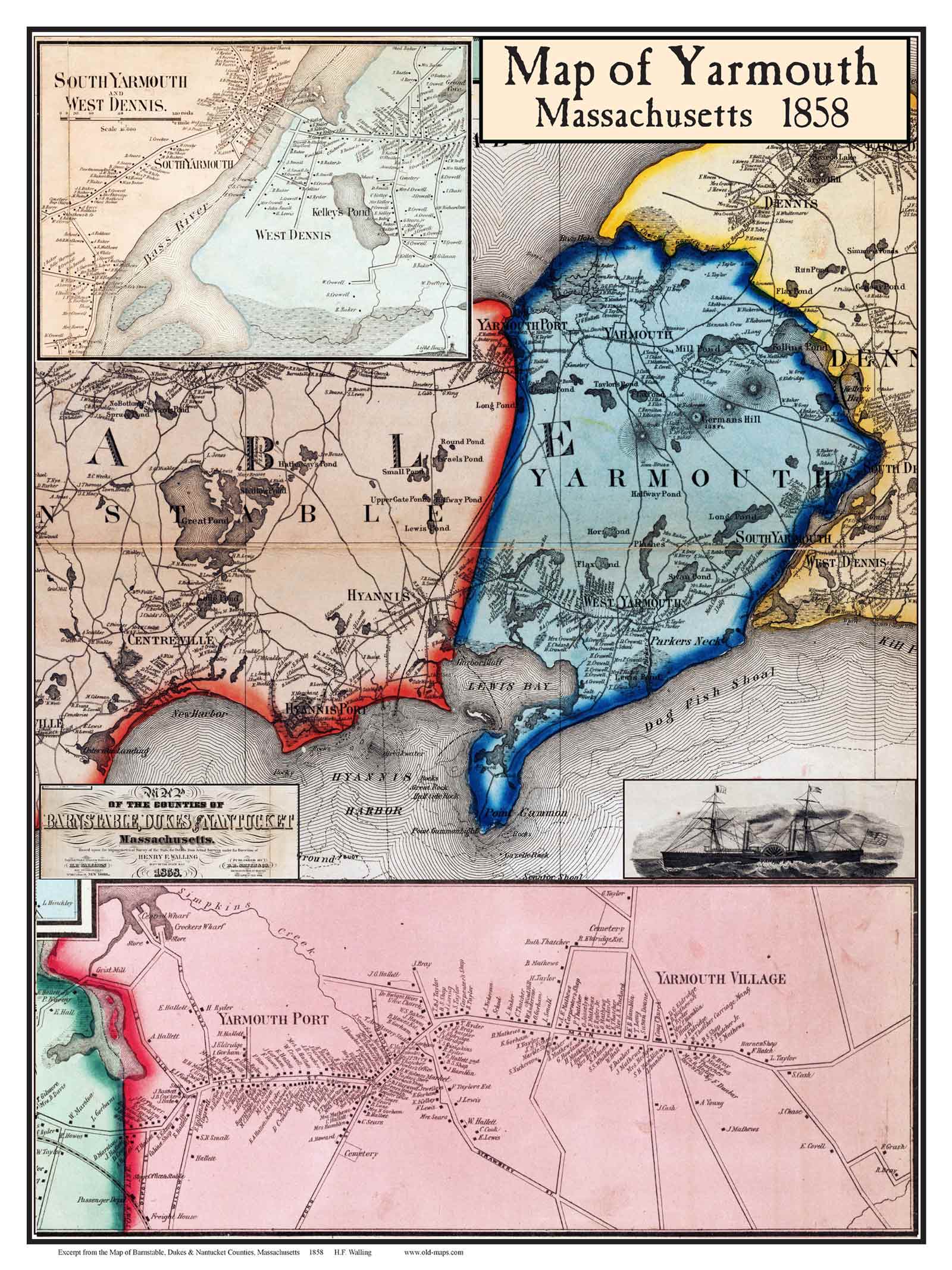
1858 Town  & Village   Poster Maps
 Cape Cod Towns

See also Simple 1858 town maps      Cape Cod Maps

Composite maps with both town + village maps (made from the 1858 county wall map).

Click here to purchase maps from this collection
1858 Old Map of Barnstable 1858 Old Map of Brewster 1858 Old Map of Chatam
Barnstable Brewster Chatham 
1858 Old Map of Dennis 1858 Old Map of Eastham  1858 Old Map of Falmouth 
Dennis  Eastham Falmouth
1858 Old Map of Harwich  1858 Old Map of Marthas Vineyard  1858 Old Map of Nantucket 
Harwich  Marthas Vineyard  Nantucket 
1858 Old Map of Orleans  1858 Old Map of Provincetown  1858 Old Map of Sandwich 
Orleans  Provincetown  Sandwich  
1858 Old Map of Truro  1858 Old Map of Wellfleet  1858 Old Map of Yarmouth 
Truro  Wellfleet   Yarmouth 


Revised: 08/22/17
Copyright © 2005 [Old Maps]. All rights reserved.