|


Masschusetts:
State Maps
Counties:
Barnstable, Dukes & Nantucket
Berkshire
Bristol
Essex
Franklin
Hampden
Hampshire
Middlesex
Norfolk
Suffolk
Plymouth
Worcester
|
|
|
|
|
Fire Insurance Maps
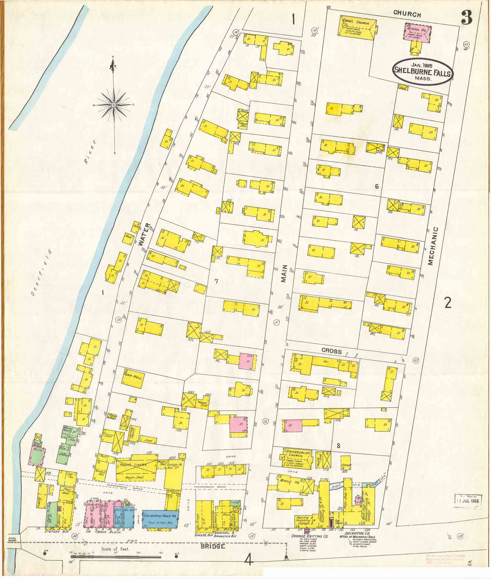
Shelburne Falls, MA 1905 &
1910 (small sections) |
Comparison of 2 maps on Bridge
Street - 1905 (top) and 1910
(bottom)
These maps are interesting because they bracket the construction of the
Bridge of Flowers ("Concrete Bridge" shown in uppper left on 1910 map). |

==============================================================================
================================================================================ |
 |
| Click on the maps above to get to the
larger map, so you can see more of the village. The images you will see have
been reduced in size for faster web access. These maps are parts of
multi-sheet sets of maps of Shelburne Falls. |
|
|
|