Historical Nautical Charts of the Atlantic Coast
1:80,000 Scale Charts 31-36
Chesapeake Bay
Maryland Main Page
Chesapake Nautical Charts
Charts 27-30
Charts 37-44
Atlantic Coast Nauticals
View these maps on our new site!
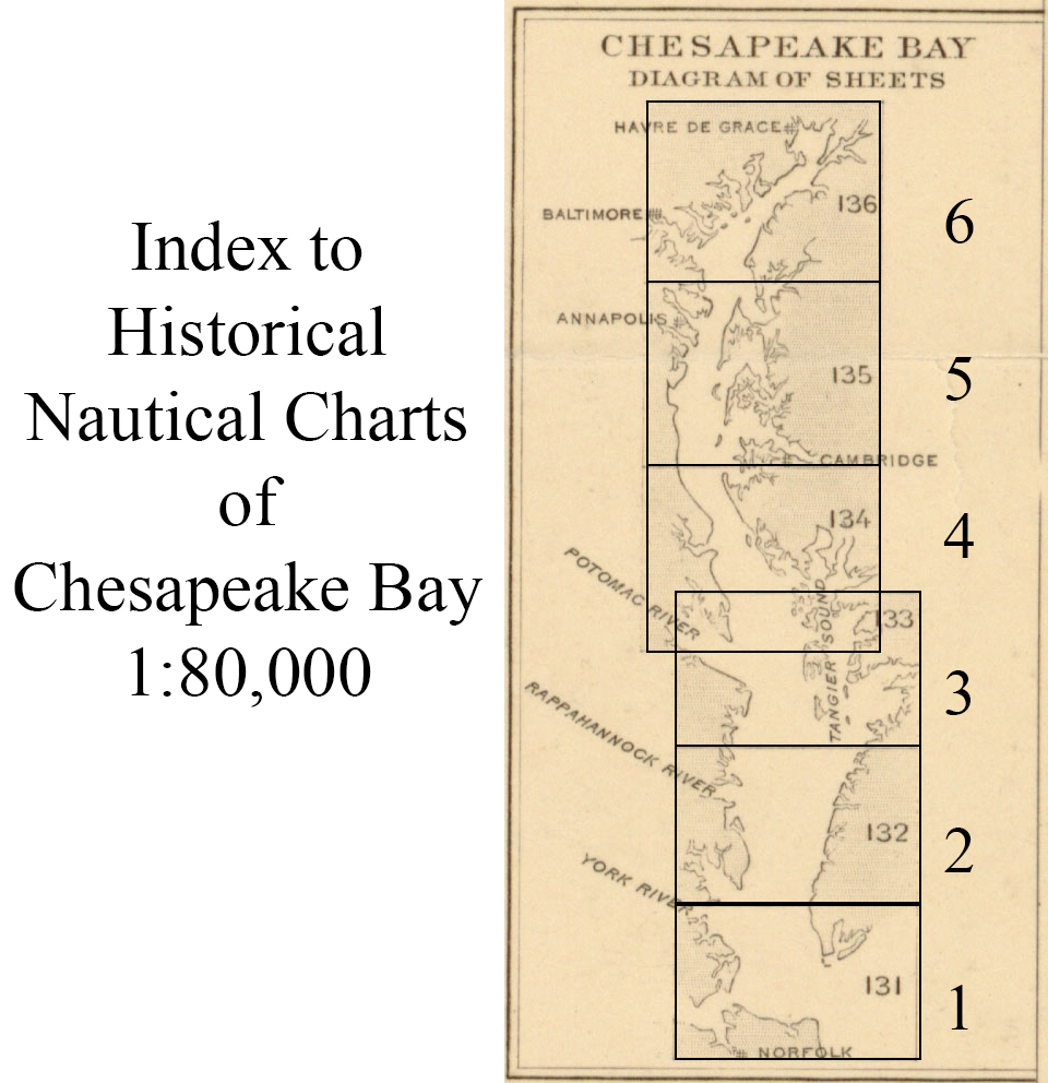
Chart 31 - Chesapeake Bay Entrance
Chart 32 - Rappahannock Entrance Mobjack Bay Cherrystone Inlet
Chart 33 - Potomac Entrance Tangier and Pocomoke Sounds
Chart 34 - From Potomac River to Choptank River
Chart 35 - From Choptank River to Magothy River
Chart 36 - From Head of Bay to Magothy River
Revised: 07/12/22
Copyright © 2005 [Old Maps]. All rights reserved.