Old-Maps

Vermont
New Hampshire
Massachusetts
Maine
Connecticut
Rhode Island
New England

New York
New Jersey
Pennsylvania
Delaware
Maryland
Washington DC
Virginia


Background
News Coverage
Contact Us
Order Form
FAQ


Old Topographic Map
Anne Arundel County, Maryland  1894

USGS            MD Home            MontgomeryCo Topo

Click here to see purchase options!
Old Topographical Map of Anne Arundel County Maryland
click on the image above for a higher-res view  -  Original size: 24" x 36"

Available in multiple sizes.  Please note that some text will be very tiny at the 16" size.

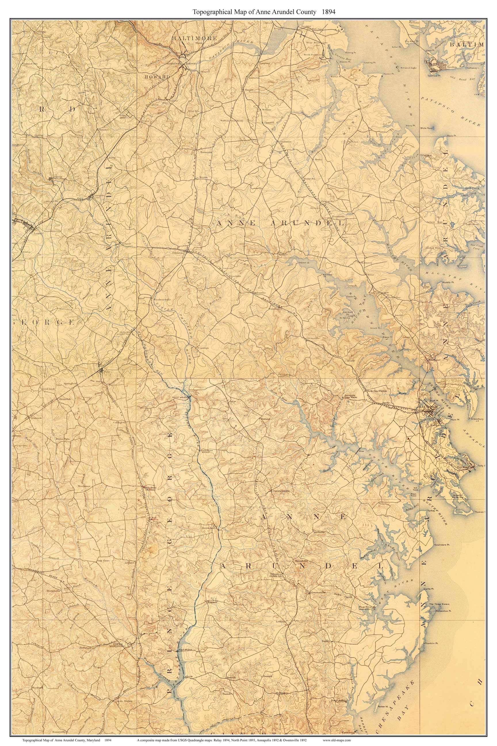
A composite map made from 4 old USGS Topographic Maps.  Old topographic maps, which have much less detail than modern "USGS" maps, make for very pleasant wall decorations.

Old Topographical Map of Anne Arundel County Maryland - detail 

The old topo maps show every road and all principal buildings,
as well as lakes, rivers, railroads and elevations.


Revised: 08/17/17
Copyright © 2005 [Old Maps]. All rights reserved.