Old-Maps

Vermont
Massachusetts
New Hampshire
Maine
Connecticut
New York
Rhode Island
New England
About Us
News Coverage
Contact Us
Order Form
FAQ

Masschusetts:
State Maps
Counties:
Barnstable, Dukes & Nantucket
Berkshire
Bristol
Essex
Franklin

Hampden
Hampshire
Middlesex
Norfolk
Suffolk
Plymouth
Worcester


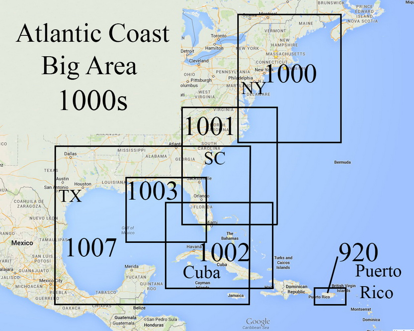
Nautical Charts of the Atlantic Coast
Big Area - Atlantic Coast and Gulf of Mexico

Nautical Charts Home


A larger selection of these 'Big Area' Charts of the entire Atlantic Coast is available for Viewing and Purchase on our new Website.
Nautical Charts of the Atlantic Coast - Big Area Nautical Charts of the Atlantic Coast - Big Area
Chart 920 - Puerto Rico & Virgin Islands  1931
Original size 28" x 49"
Click on the index above for a larger view
 
Nautical Charts of the Atlantic Coast - Big Area Nautical Charts of the Atlantic Coast - Big Area
Chart 1000 - Cape Sable to Cape Hatteras  1900
Original size 36" x 44"
Chart 1001 - Chesapeake Bay to Straits of Florida  1904
Original size 36" x 44"
   
Nautical Charts of the Atlantic Coast - Big Area Nautical Charts of the Atlantic Coast - Big Area
Chart 1002 - Straits of Florida  1900
Original size 36" x 44"
Chart 1003 - Key West to Mississippi River  1951
Original size 36" x 44"
 
Nautical Charts of the Atlantic Coast - Big Area
Chart 1007 - Gulf of Mexico 1879
Original size 36" x 44"
 
We offer these and several more copies of each map through our new storefront.  Click here to browse the collection!


Revised: 12/28/17
Copyright © 2005 [Old Maps]. All rights reserved.