|
|
|
Historical Nautical Charts of the Great Lakes
Scale 1:1,200,000 or 1:1,500,000
All the Great Lakes
|
Old Maps Home Great
Lakes Home
Individual Great
Lakes Onieda,
Cayuga & Seneca Lakes
 |
|
We have added these maps to our new store, along with
7 more editions!
Click here to browse the collection!
|

Great Lakes General Chart - 1909 1:1,200,000 Scale
Original
size: 31" x 44"
|

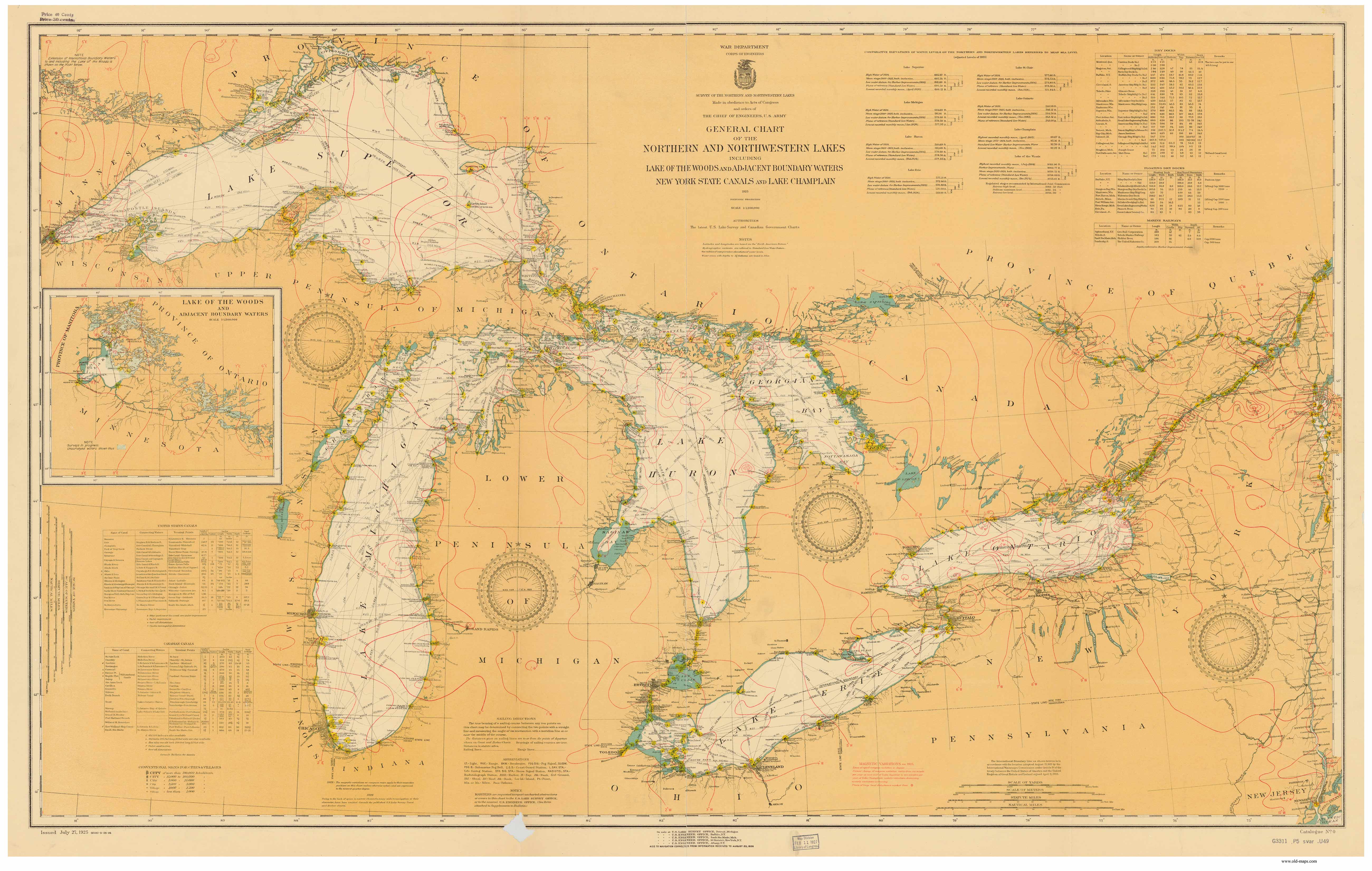
Great Lakes General Chart - 1926 1:1,200,000 Scale
Original
size: 33" x 52"
|

Great Lakes General Chart - 1944 1:1,200,000 Scale
Original
size: 36" x 52"
|

Great Lakes General Chart - 1955 1:1,200,000 Scale
Original
size: 36" x 52" |

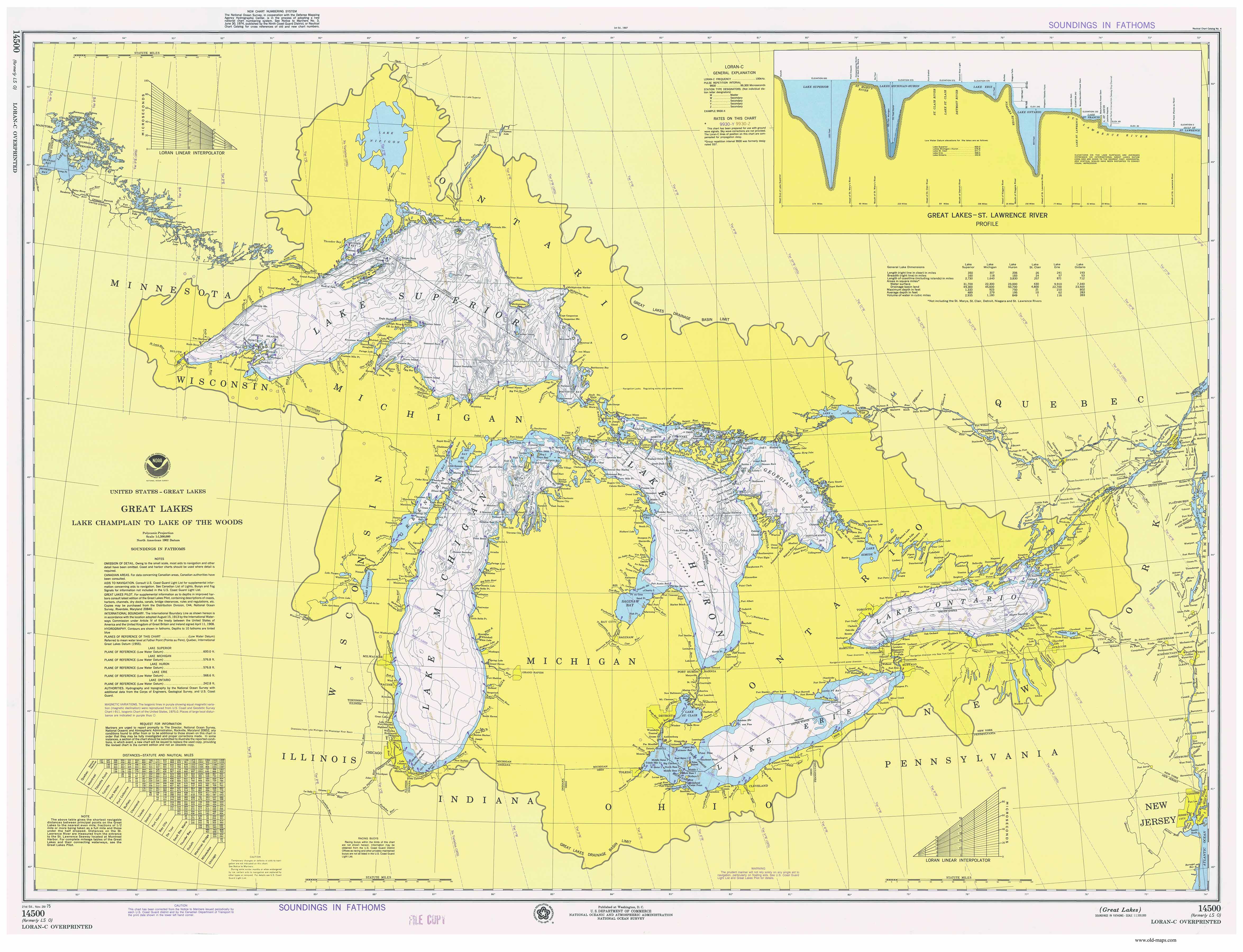
Great Lakes General Chart - 1975 1:1,500,000 Scale
Original
size: 36" x 48" |

Great Lakes General Chart - 1995 1:1,500,000 Scale
Original
size: 35" x 47" |
|
|
|
|
|
|
|