Hillsboro County Maps
Single Town Maps
1892 Hillsborough County town maps (free downloads) 1858 Poster Map of Peterborough
Towns in Hillsboro County:
County/TownCollections, etc.
Detailed town maps are available on our county and town publications.
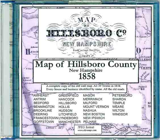
1858 County Wall Map on CDROM every road & house (names) 1858 Wall Map Portfolio Edition (Seconds only) County Prints from the 1816 Carrigain State Map
These New Hampshire State maps provide additional town and county detail.1) 1761 Blanchard & Langdon2) 1784 Holland Map3) 1816 Carrigain map
State Maps Page
Revised: 06/20/17 Copyright © 2009 [Old Maps]. All rights reserved.