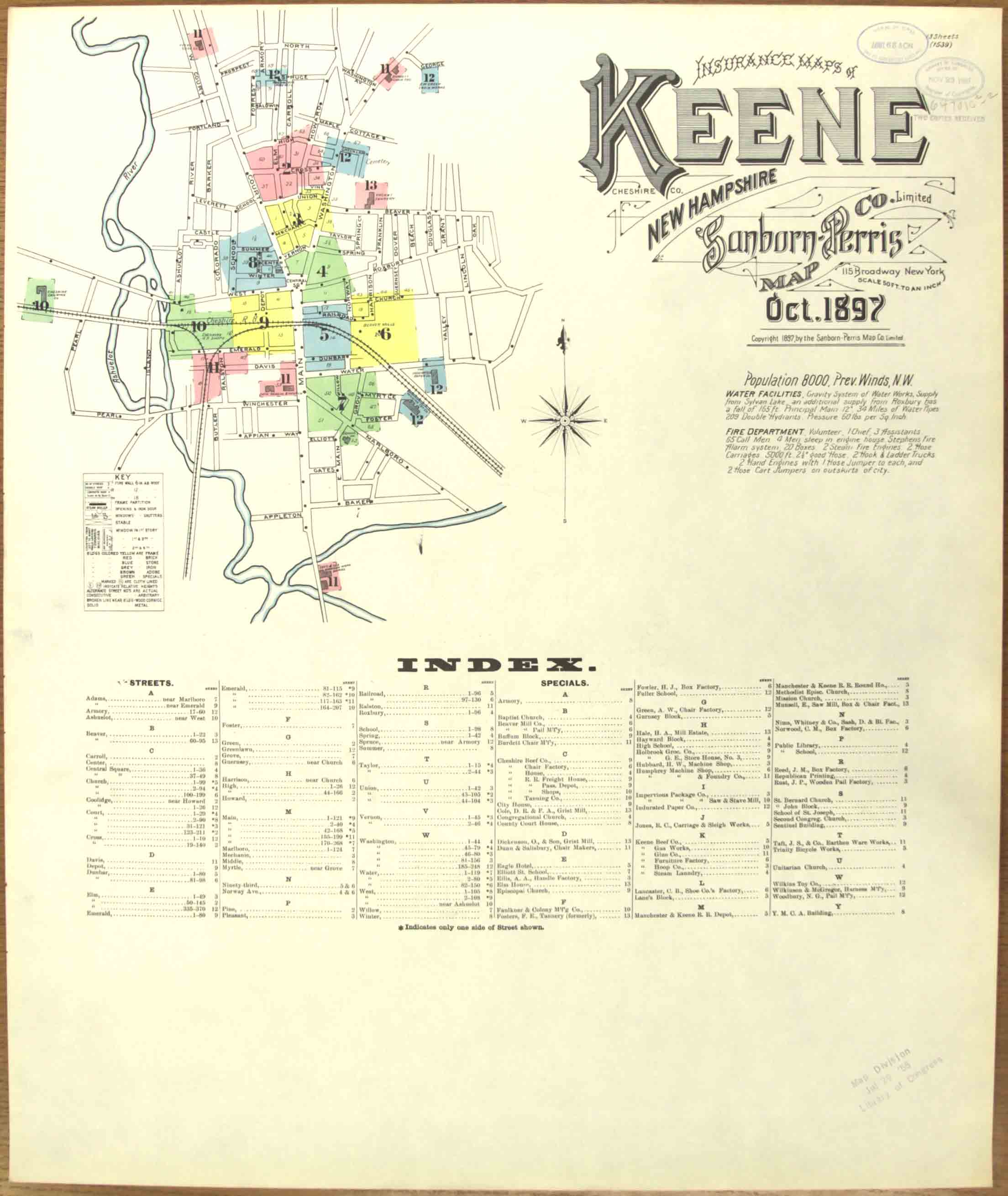
1897 Keene
Fire Insurance Maps
Click on an image to view and/or
download a map. To begin, find your site by looking at the
index map - the first map. You may want to print out a copy to make it
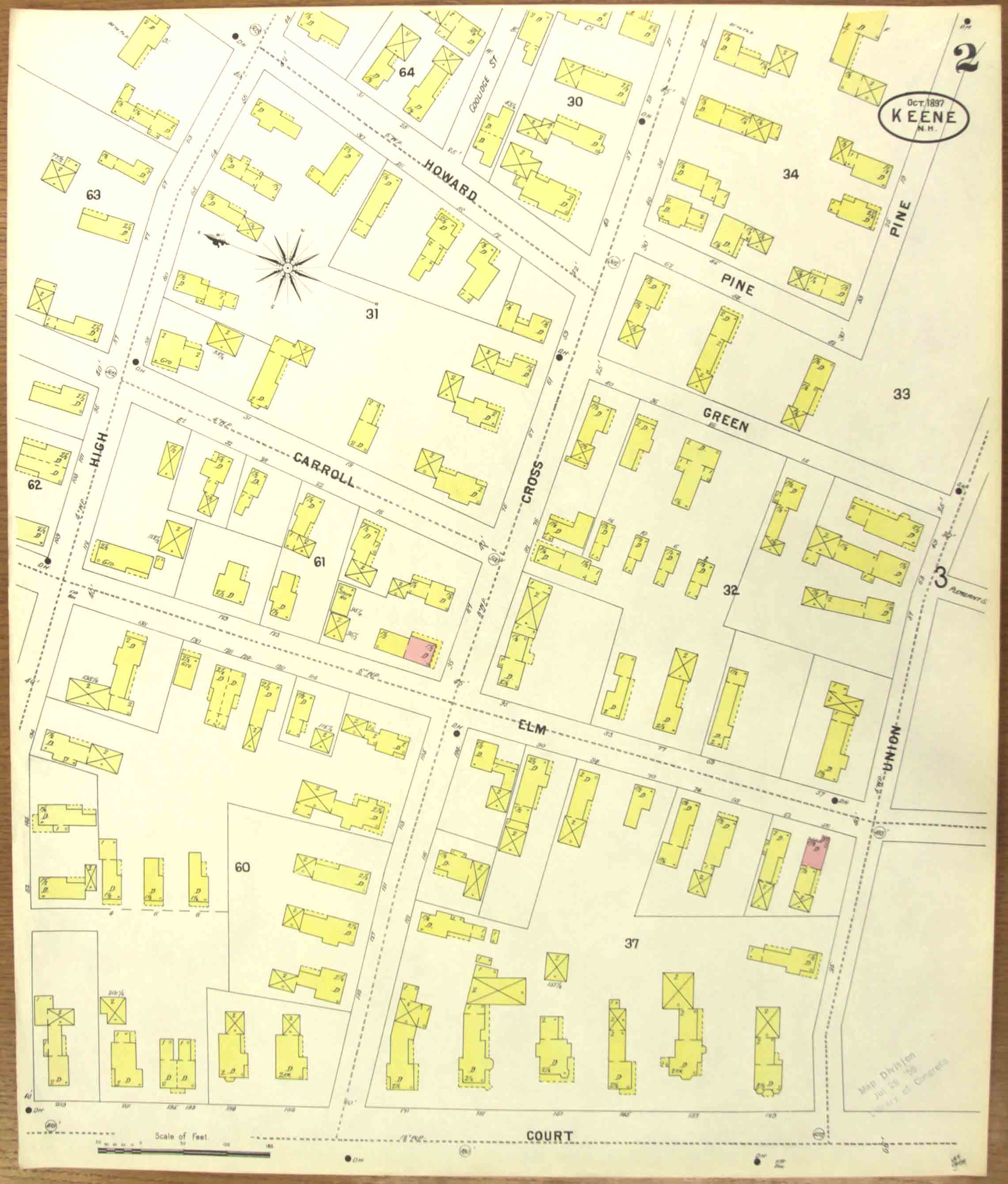
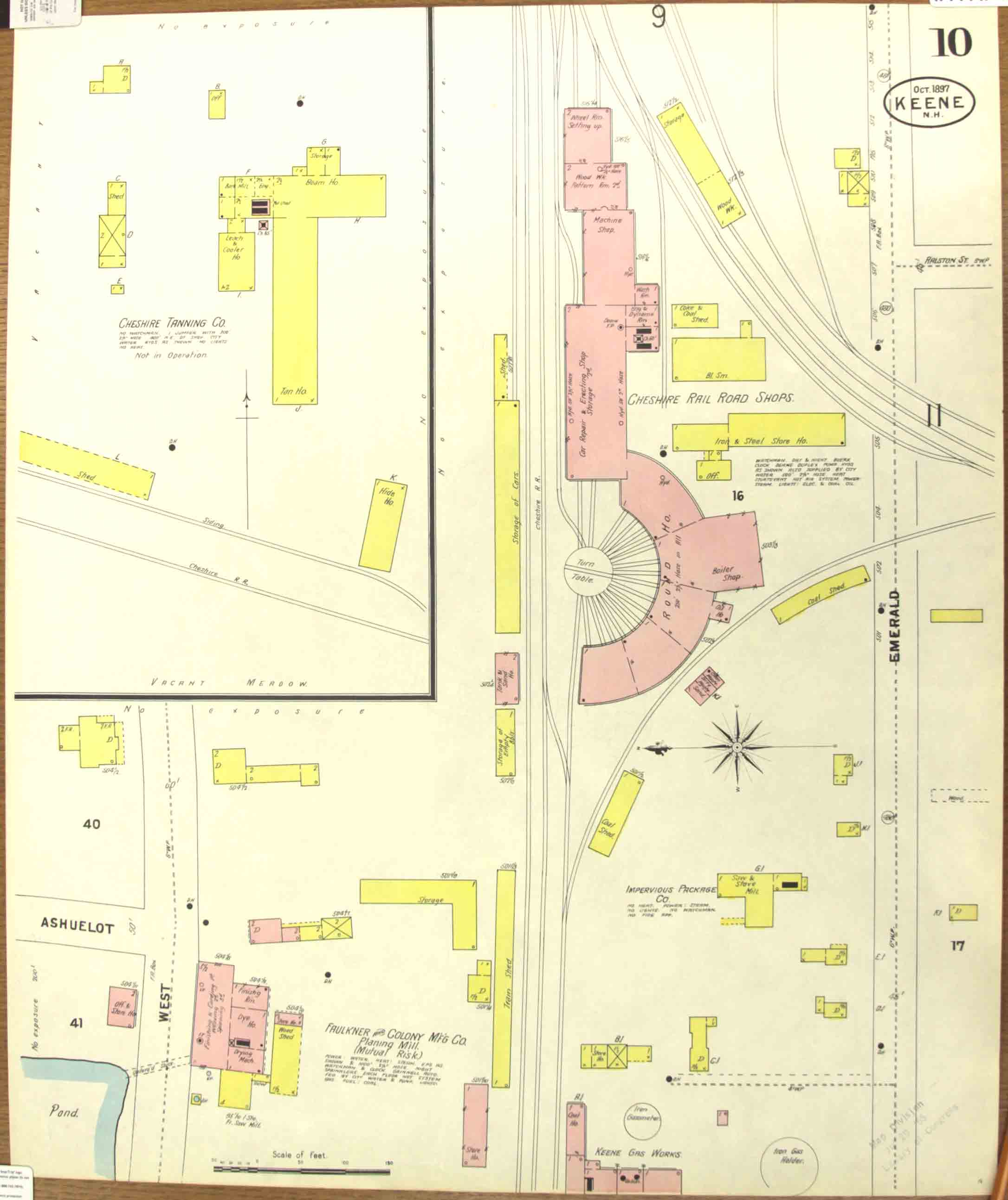
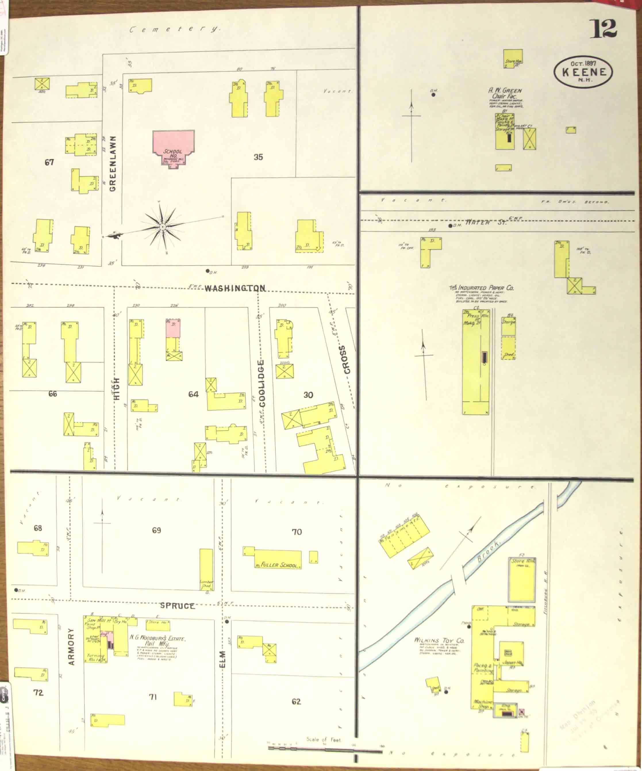
easier to find your way about the map sets. Fire insurance maps can be difficult
to peruse because of the way the sheets are laid out.
These maps have been reduced in size for easy web viewing. Better quality images
are available, see the main page for details.

kee_fir1897_00-web.jpg

kee_fir1897_01-web.jpg

kee_fir1897_02-web.jpg

kee_fir1897_03-web.jpg

kee_fir1897_04-web.jpg

kee_fir1897_05-web.jpg

kee_fir1897_06-web.jpg

kee_fir1897_07-web.jpg

kee_fir1897_08-web.jpg

kee_fir1897_09-web.jpg

kee_fir1897_10-web.jpg

kee_fir1897_11-web.jpg

kee_fir1897_12-web.jpg

kee_fir1897_13-web.jpg

kee_fir1897_14-web.jpg