Old-Maps

Vermont
Massachusetts
New Hampshire
Maine
Connecticut
New York
Rhode Island
New England
About Us
News Coverage
Contact Us
Order Form
FAQ

Pennsylvania:
Bird's Eye Views
State Maps

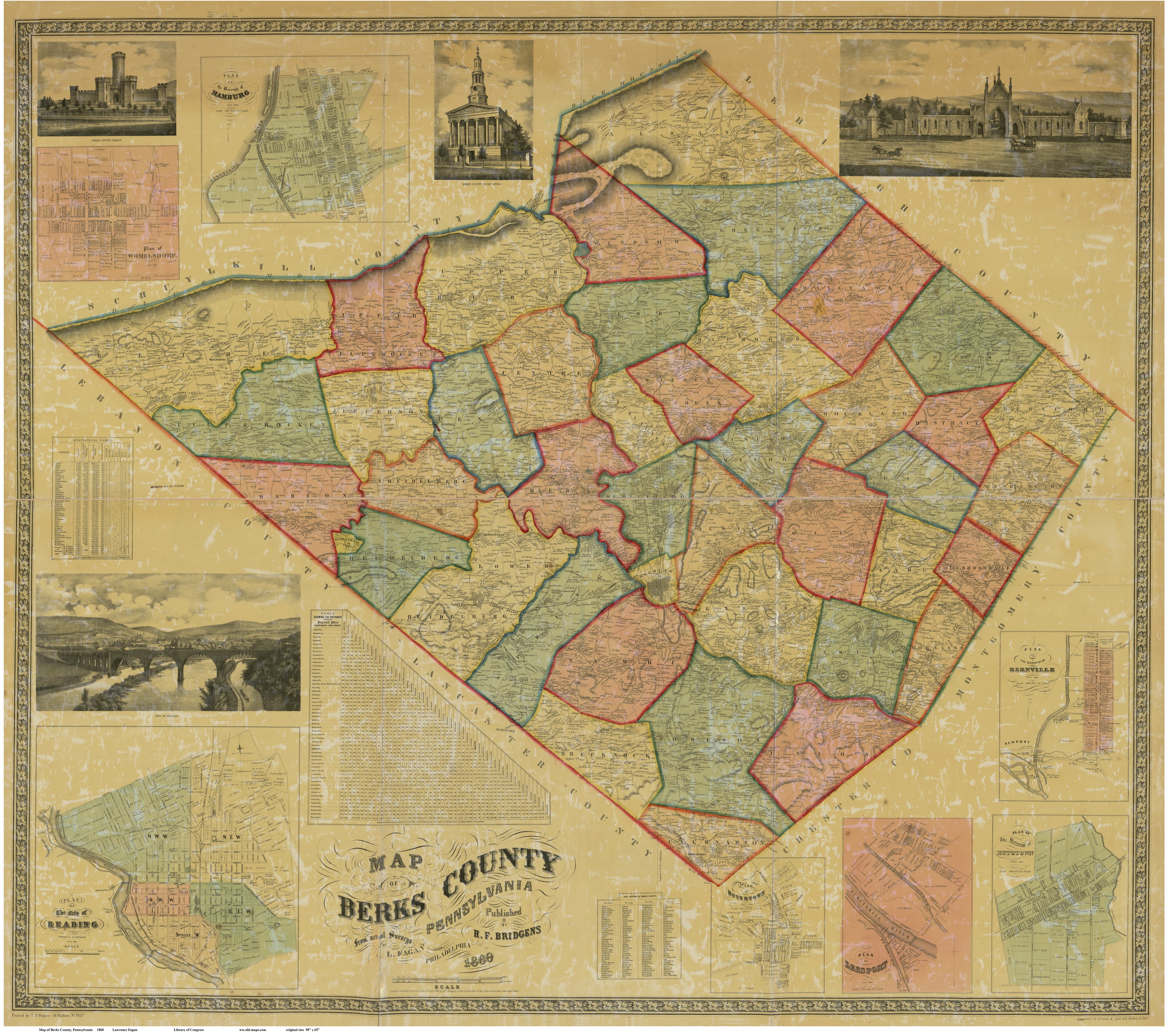
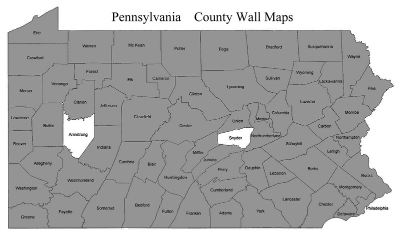
Pennsylvania County Maps from the 1800s
Attractive maps for wall display  -  Reprints

        Bird's Eye Views                              State Maps                             Home  

Click here to browse our collection of 1850s and 1860s County Maps through our store at shop.old-maps.com!
See also our collection of Pre-1840 PA County Maps, and our Town Maps from PA Counties.

Our Town Maps are our own creation (excerpted from the old wall maps), and are not to be found anywhere else!
Map of Berks County PA, 1860
Map of Berks County 1860  -   A typical County Map
Click on the image above for a larger (still low-res) view
We have county wall maps for the gray shaded counties.


Revised: 05/17/18
Copyright © 2009 [Old Maps]. All rights reserved.