|
Old Maps of
Pennsylvania
Attractive maps for wall
display - Reprints
Bird's Eye Views
County Wall Maps
Home |
|
These maps were chosen for their charm as well as their historical
value.
Click on a thumbnail to see a larger image
of the map (images are degraded for the web).
Click here
to view this collection on our new website!
|

1792 Howell
orig. 37 x 64 Rumsey Collection
Very important early map. Detailed, with exact state boundary
|

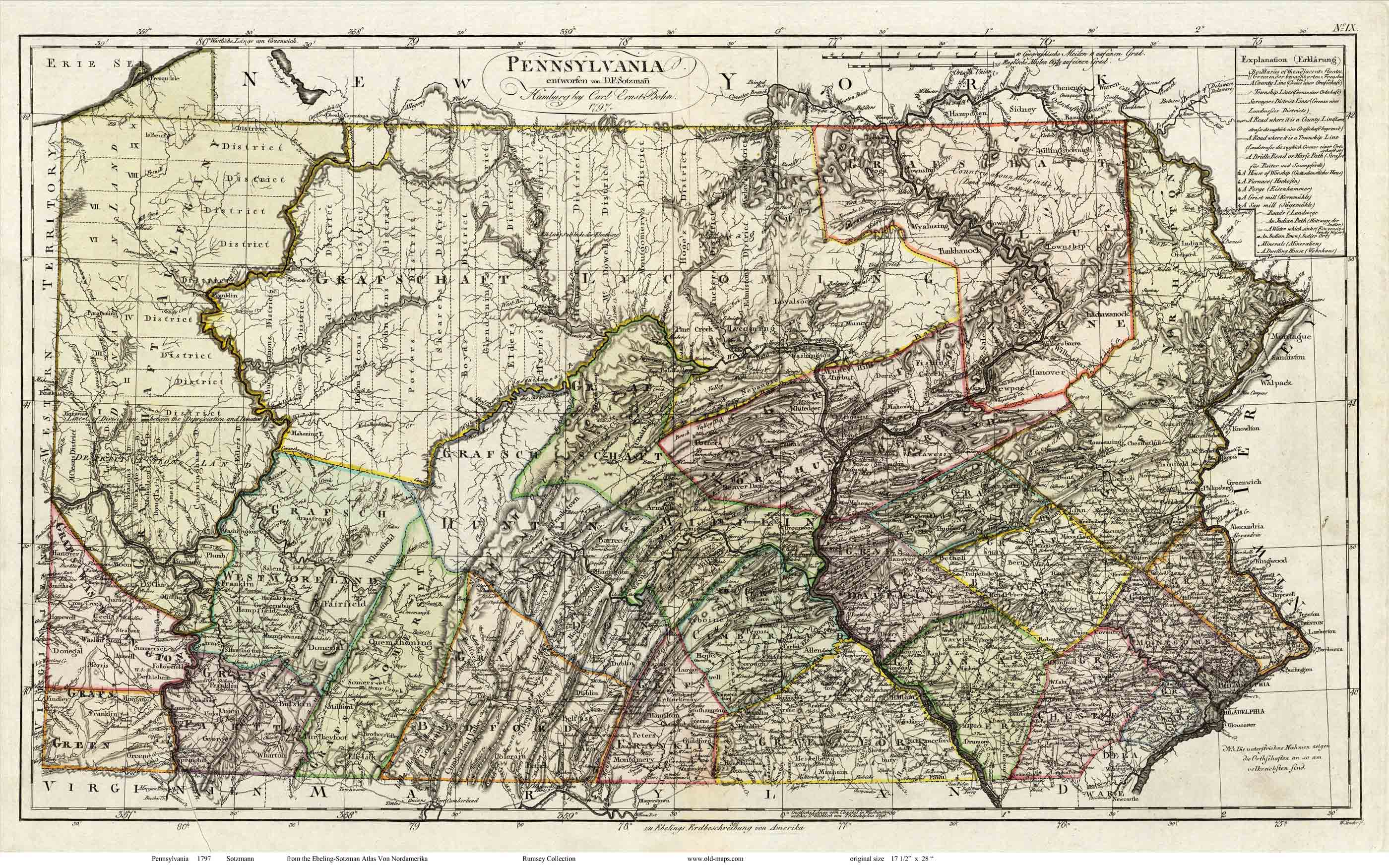
1797 Sotzmann
orig. 16 x 28 Rumsey Collection
German map. Very attractive |
|
|
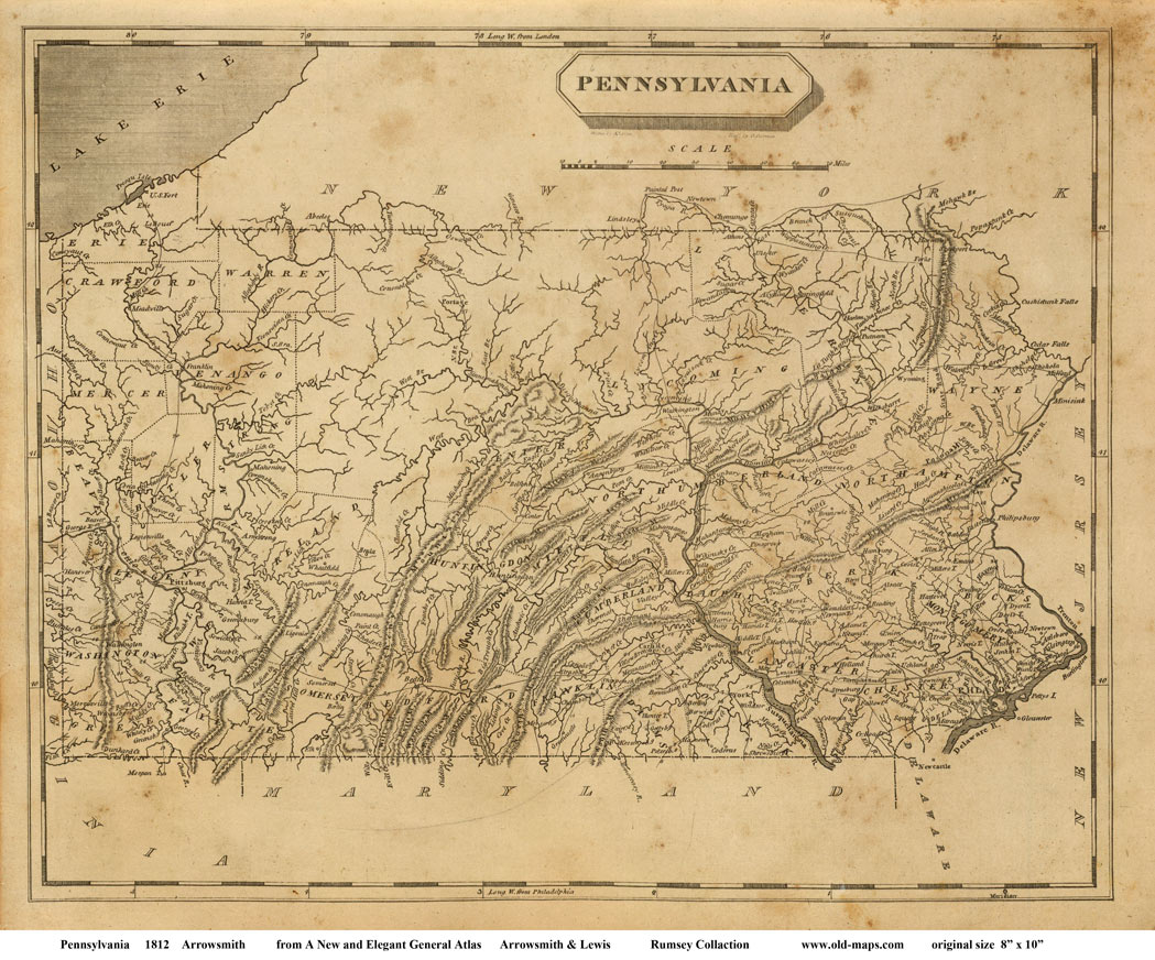
1812 Arrowsmith
orig. 8 x 10 Rumsey Collection
Small,
simple map with geographic features |

1822 Carey & Lea
orig. 13 x 20 Rumsey Collection
Colorful; mountain ranges |
|
|

1829 Finley
orig. 15 x 19 Library of Congres
Counties colored
|

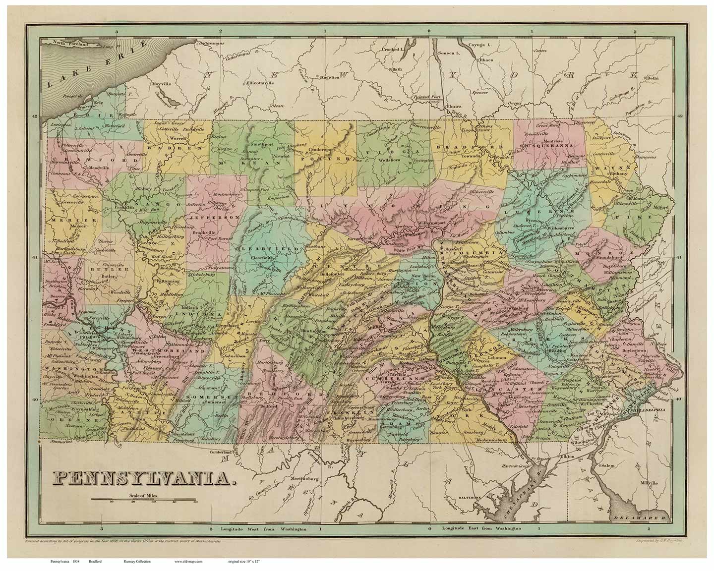
1838 Bradford
orig. 10 x 12 Rumsey Collection
Small
map with counties, cities, and geographic features |
|
|

1839 Burr - Post Routes
orig. 37 x 49 Library of Congress
A very
detailed road map made before the railroad era. The "Post Routes" shown
here were the best roads in the state. |

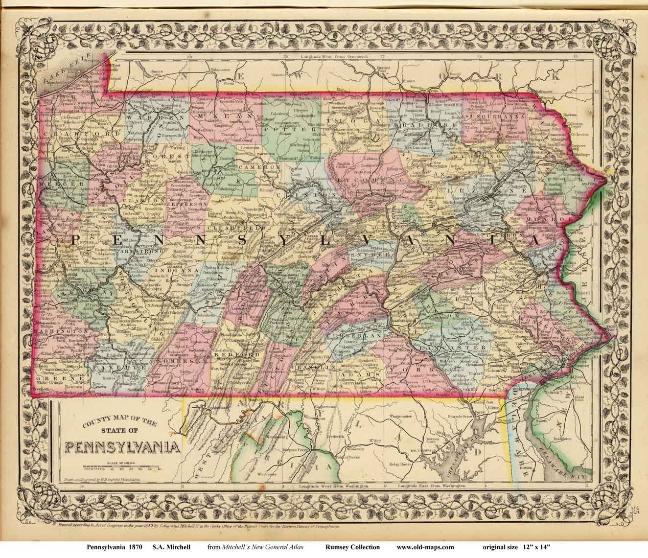
1870 Mitchell
orig. 11.5 x 14 Rumsey Collection
Decorative border |
|

1872 Railway Map - Walling & Gray
orig. 15 x 23 Rumsey Collection
Shows
every RR. Nice! |

1874 Asher & Adams
orig. 16 x 22 Rumsey Collection
Pennsylvania & New Jersey. |
|
|
|