RI State


Old-Maps

Vermont
Massachusetts
New Hampshire
Maine
Connecticut
New York
Rhode Island
New England
Background
News Coverage
Contact Us
Order Form
FAQ

RI:
State Maps
Birds Eye Views

Counties:
Newport
Providence


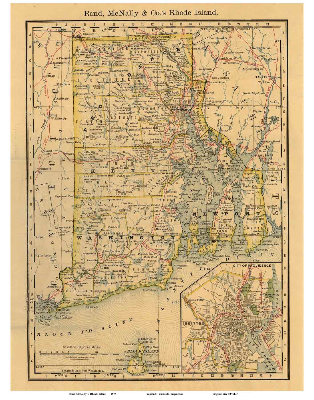
Rhode Island State Maps Prints
Attractive maps for wall display           Back

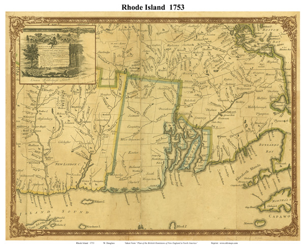
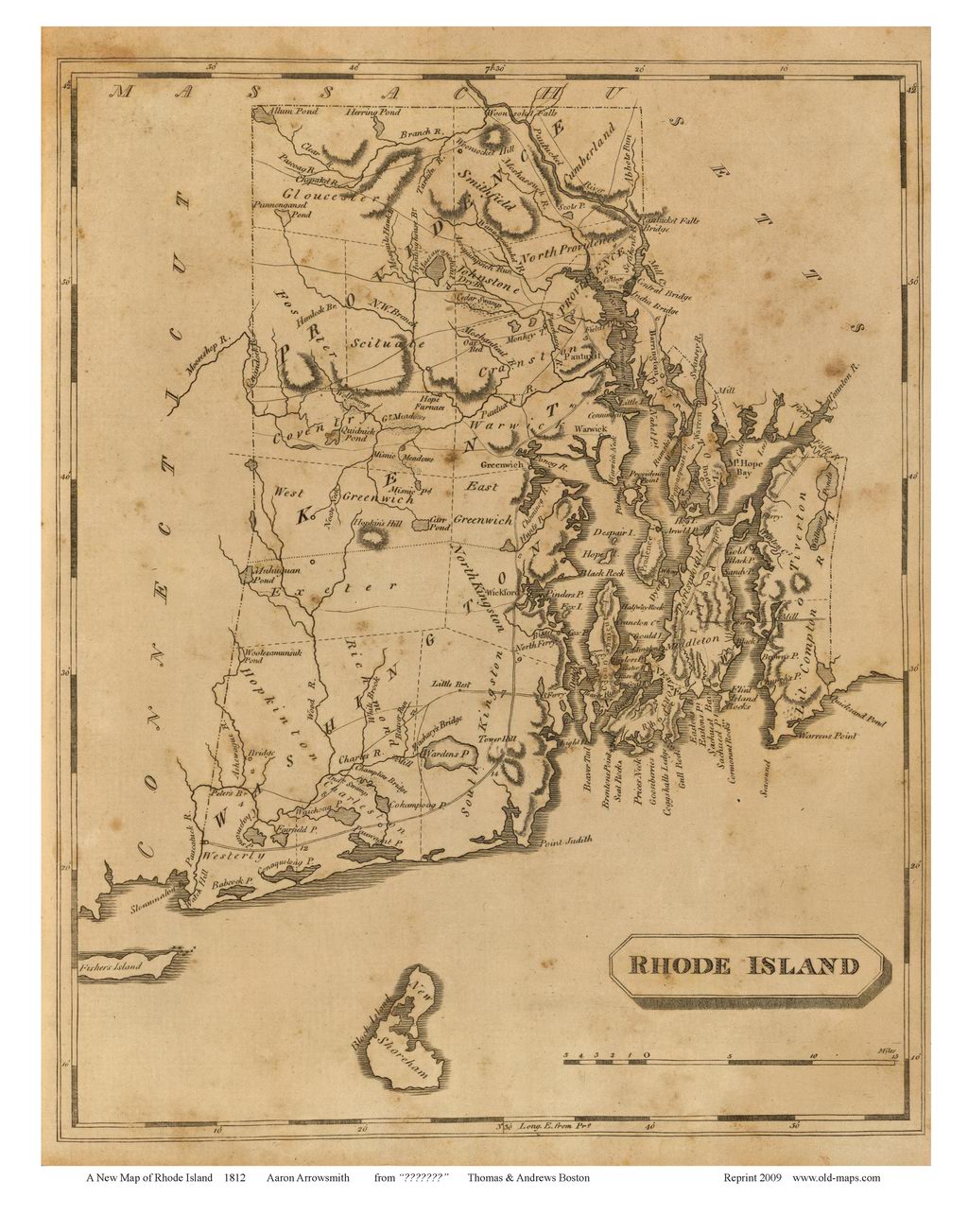
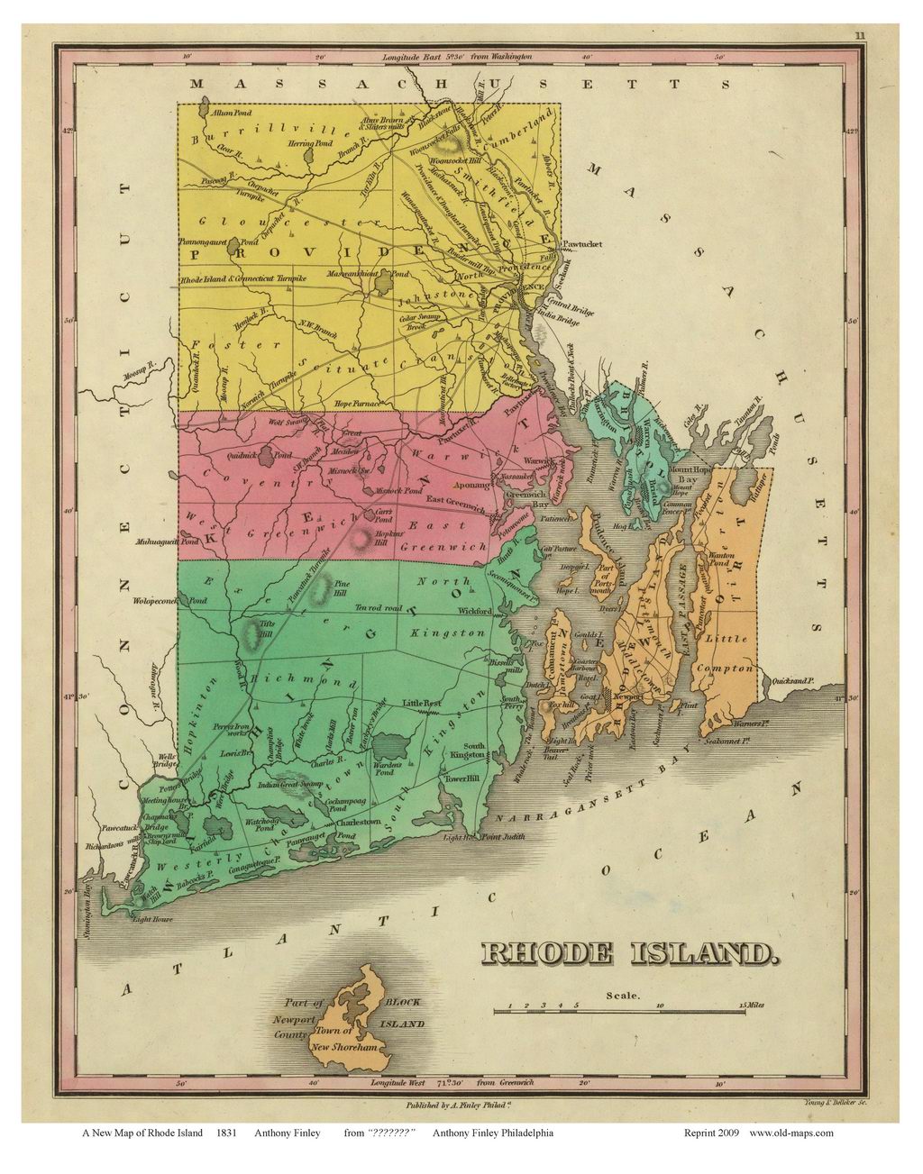
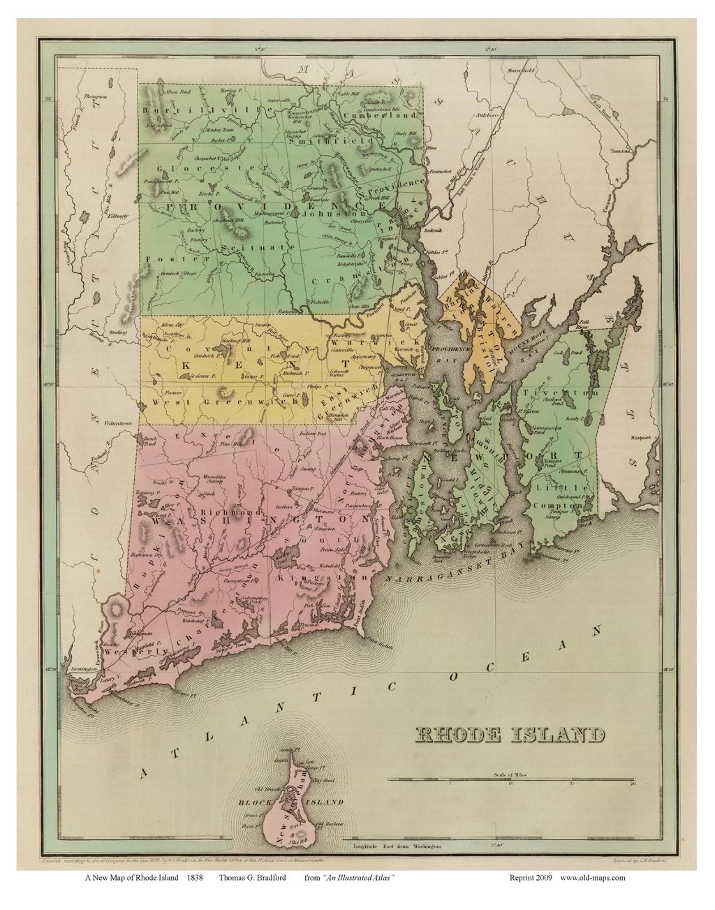
 These maps were chosen for their charm as well as their historical value.
Click on a thumbnail to see a larger image of the map (images are degraded for the web).

Click here to view and purchase these and more State maps of Rhode Island!


Map of the State of Rhode Island, 1753 Douglass
1753 Douglass
an excerpt from the early NE map showing ancient towns

Map of the State of Rhode Island, 1796 Reid
1796 Reid
Map of the State of Rhode Island, 1812 Arrowsmith
1812 Arrowsmith

Map of the State of Rhode Island, 1831 Finley
1831 Finley

Map of the State of Rhode Island, 1838 Bradford
1838 Bradford
Map of the State of Rhode Island, 1875 Rand McNally

1875   Rand McNally
  Map of the State of Rhode Island, 1880 Tilden
1880 Tilden


Revised: 03/09/17
Copyright © 2005 [Old Maps]. All rights reserved.