|
Vermont State
Maps - Page 1
Attractive maps for wall
display
Vermont State Maps
Page 1
Page 2
Page 3 - Colonial Maps |
|
Click here to
purchase these and other Vermont State Maps
|

1761 New Hampshire Map
Before Vermont was a State
See separate web page |

1780 Covens and Mortier
First map to say "Vermont"
See separate web page |

1789
Blodget
All towns, many with old names.
See separate web page |
|
|
|
|

1796 Whitelaw
First official state map. Every town,
major roads, a
few buildings.
See separate web page |

1796 Sotzman
Very attractive German map.
See separate web
page |

1798 Ira Allen
See separate web page |
|
|
|
|

1810 Whitelaw
Second edition, some changes.
See separate web page |

1814 Doolittle
Pastel
Charming small map.
Old town names. Pastel Colors.
See separate web page |

1814 Doolittle
LC
Same map as "Pastel" to left.
Distinct Colors
See separate web page |
|
|
|
|

1821 Whitelaw-Hutchinson
Third edition. Colorful
See separate web page |

1822 Carey
Mountain ranges, towns,
counties, roads.
See separate web page |

1834 Robinson
Towns, counties, major roads,
before RR.
See separate web page |
|
|
|
|

1842 Thompson
See separate web page |

1854 Thompson
See separate web page |

1845 Robinson
Towns, counties, major roads,
before RR.
See separate web page
|
|
|
|
|

ca1850 White
See separate
web page |

1856 Colton
Railroads. Attractive colors.
Decorative border.
See separate web page |

1860 Walling
One of the most detailed VT
State maps of the time
See separate web page |
|
|
|
|

1861 Geological
By Charles Hitchcock, noted
American Geologist.
See separate web page |
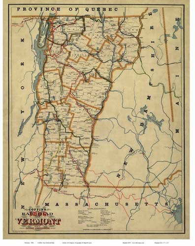
1896 Railroad Map (Coffin)
All towns, railroads,
See separate
web page |

1902 Railroad Map (official)
All towns, railroads.
See separate web page |
|
|
